After cycling up the Korean East Coast for two days I had arrived in Samcheok City. 220km / 137mi stood between me and the finish line at the Unification Observatory at the border with North Korea. You can read about my experiences in the first two days here: Korea East Coast Bike Path – Day 1, Korea East Coast Bike Path – Day 2
Morning in Samcheok City
Even though I was cycling up the Korean East Coast in February, I had great luck with warm weather. When I left my hotel at 8:00 a.m., I didn’t even need my winter coat. Temperatures would be rising to 65°F / 18°C in the afternoon. I could not have asked for better weather considering the time of year that I chose for this ride.
Ideally I wanted to reach Gangneung this evening, which would be the biggest city since I started day one in Pohang. With a population of over 200,000, Gangneung is big enough that hotels are easy to find. However, from looking at maps the night before, I knew to expect lots of mountains on today’s section of the ride. Mountain riding is much slower than flat sections along the coast, so reaching Gangneung would not be easy with the limited daylight hours of winter. Even with the odds stacked against me, I set out with the goal to reach Gangneung by sunset.
The mountain ascents began immediately after leaving my hotel. Luckily nothing felt too steep on this day. In some earlier sections I walked my bike up most of the mountain in order to put less stress on my injured knee. This morning the inclines were mild enough that I could stay on the bike with no worries. Views up on the mountain were a bit scarce due to being somewhat inland, but it did open up at some sections to provide some ocean views. After going over a couple mountains I started to look for a good place for another picnic lunch.
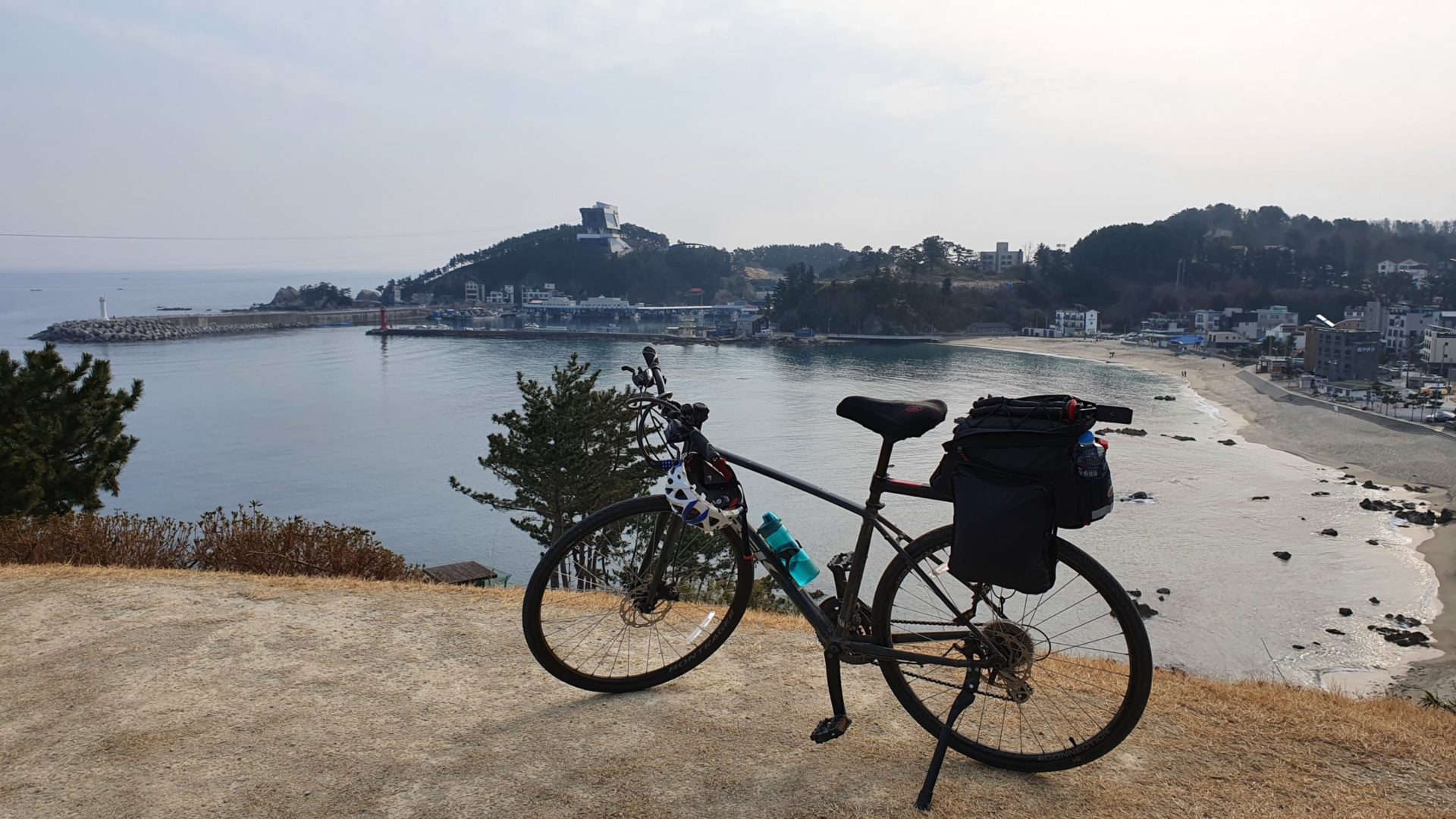
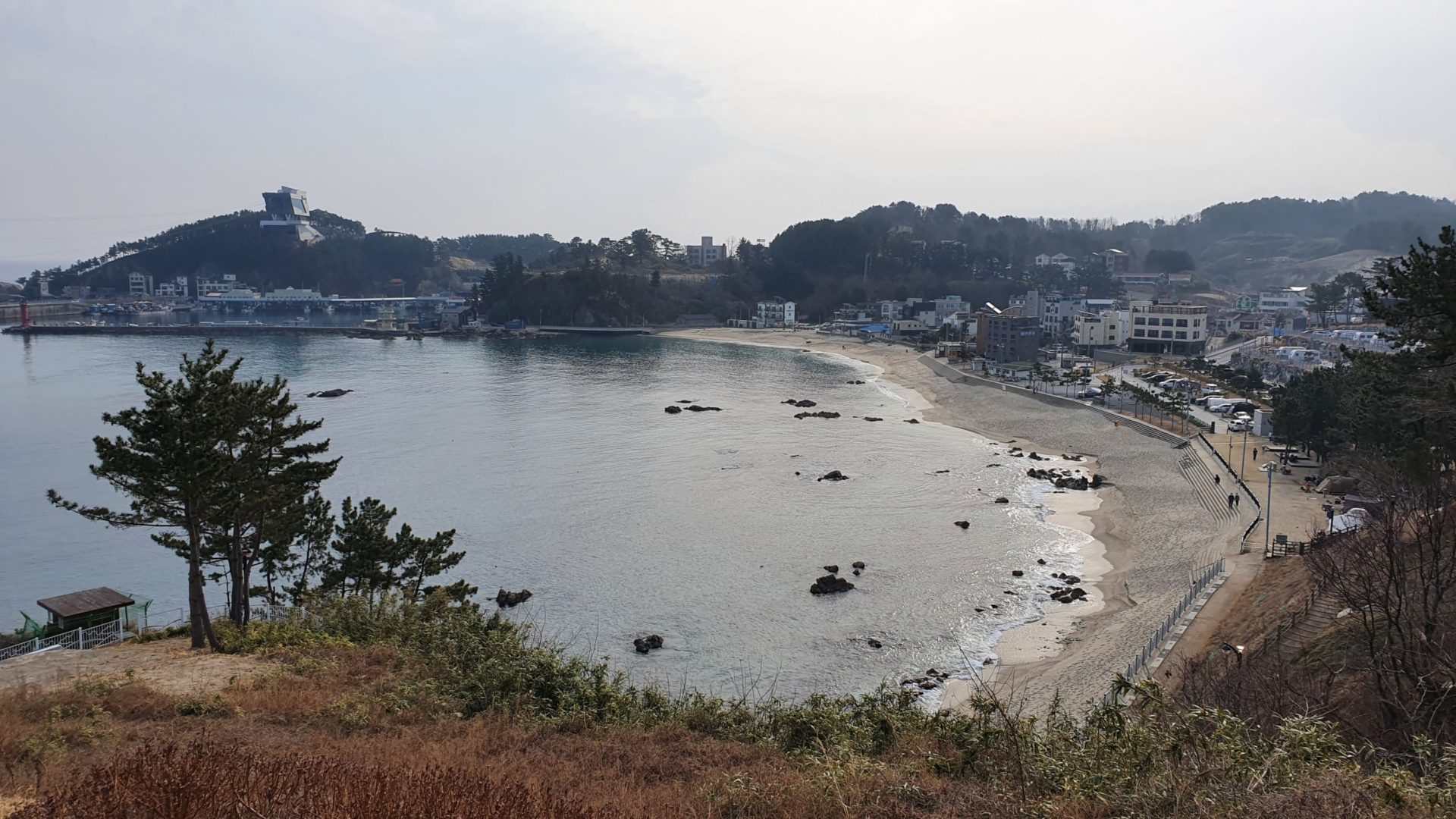
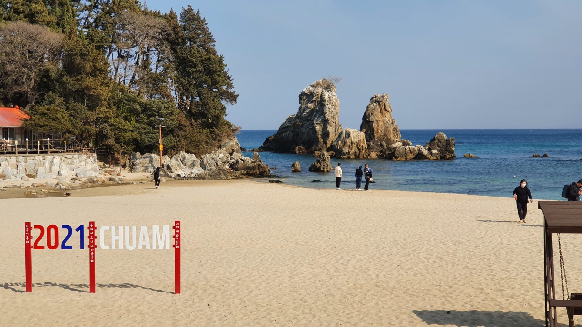
Eventually I stumbled onto the perfect area in a small beach town which features the Samcheok Marine Cable Car. I’m not sure if I was too early or if it was closed for the season, but I didn’t see it operate while I was there. I stopped in a convenience store again to grab some food and sat down at a nice view of the beach town.
To Hanjae Park
After enjoying my lunch I hopped back on the bike to ride over a few more mountains. I had a few opportunities to enjoy unobstructed views of the sea from steep cliffs, but eventually the bike path veered inland. In a way it was a nice change of pace to be riding through farmland, but I definitely prefer the grand ocean views. Those at least make for more interesting pictures!
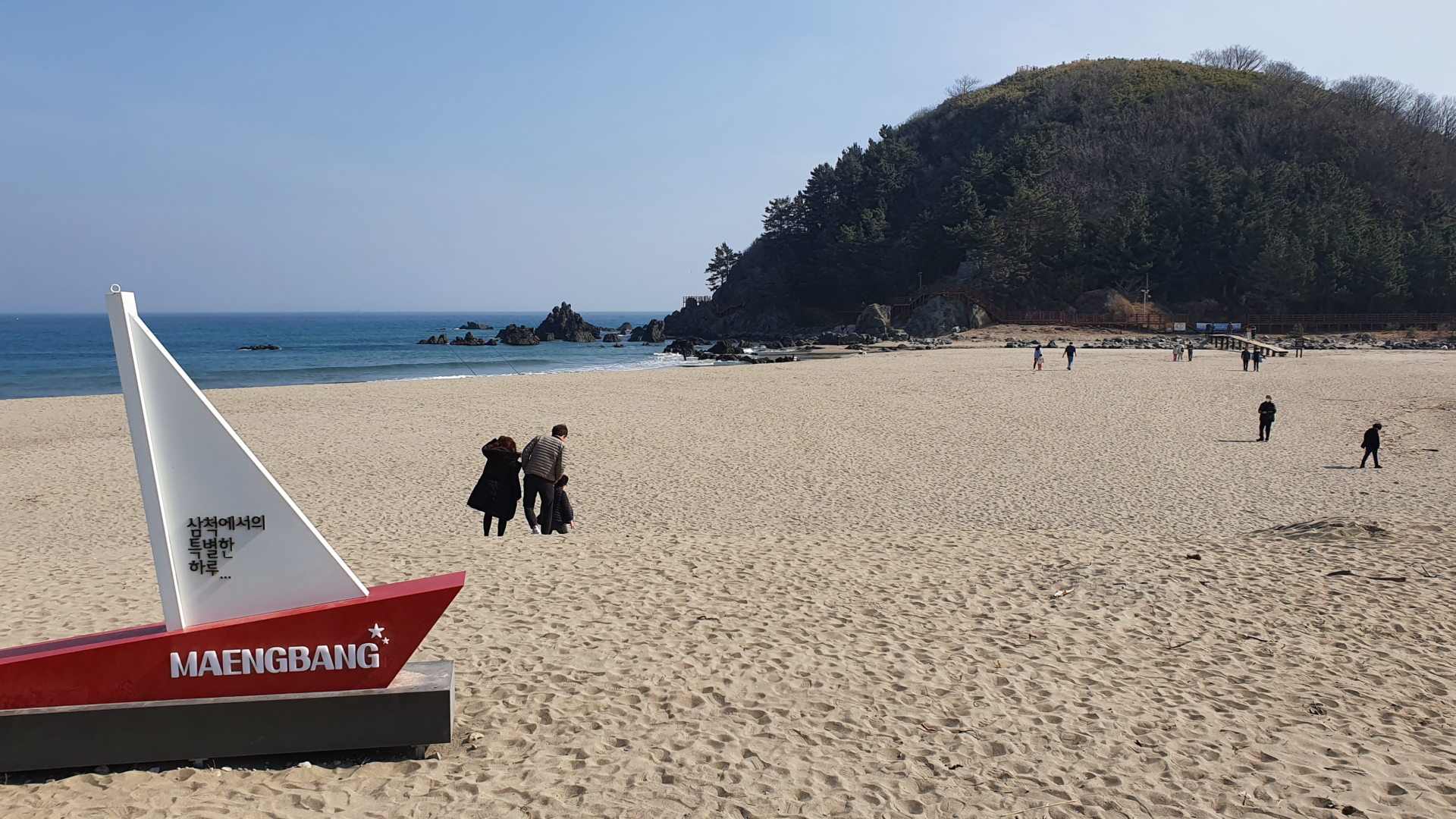
Eventually the path met back up with the ocean at Maengbang Beach. By now the sun was high in the sky and temperatures warmed even further. With warmer temperatures and lots of mountains to climb, I felt hot for the first time on the trip. Even though it was only February, I rode for most of the day in just a t-shirt.
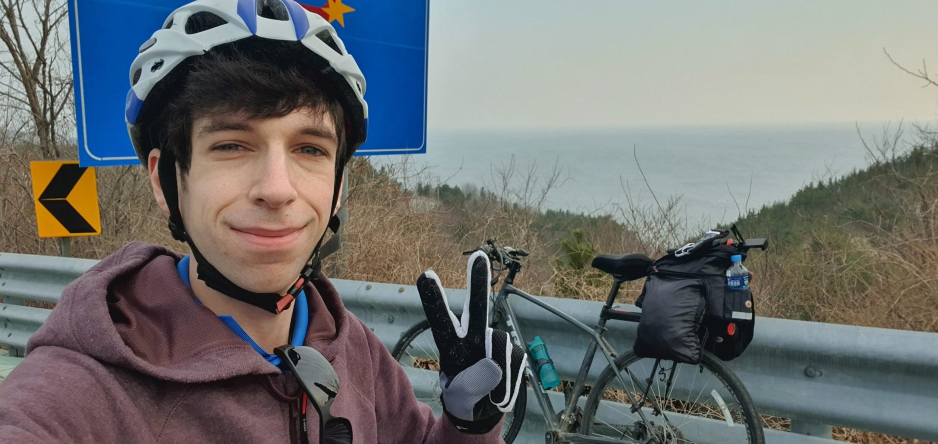
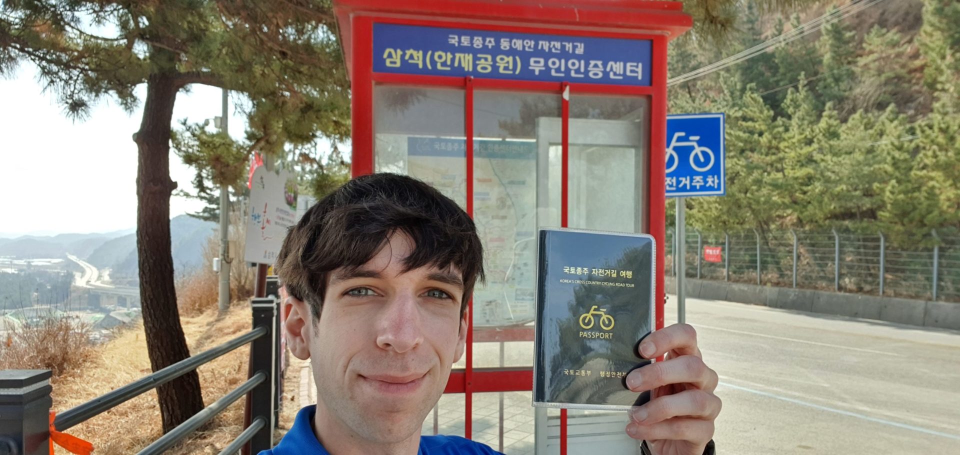
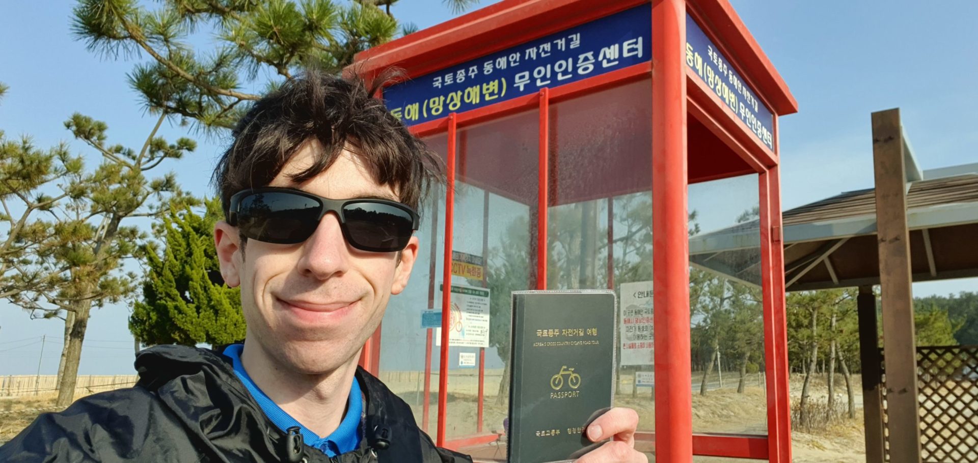
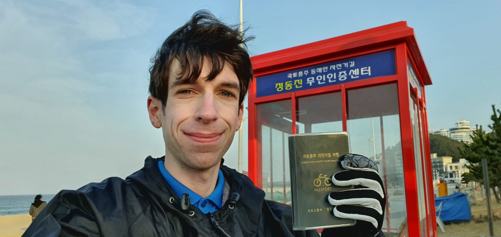
Passed Maengbang beach I only needed to ride another 30 minutes before arriving to the first stamp of the day at Hanjae Park. It felt a little weird to arrive at the first stamp so late in the day; all the mountains I rode over in the morning really slowed my pace down. I encountered my first big problem on the trip at this stamp booth – the ink pad was missing! This would be the first time that I couldn’t collect my stamp. Luckily, if you ever find yourself in this situation, a selfie at the stamp booth counts as proof for collecting the completion certificate.
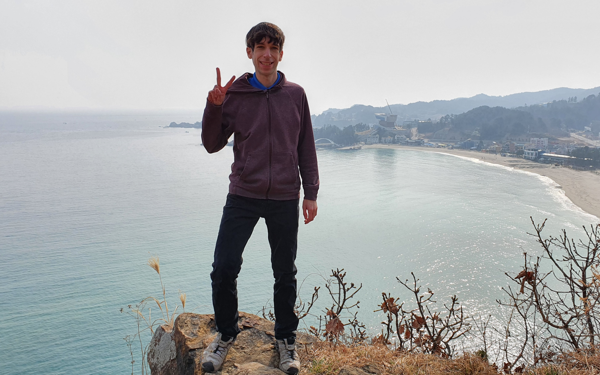
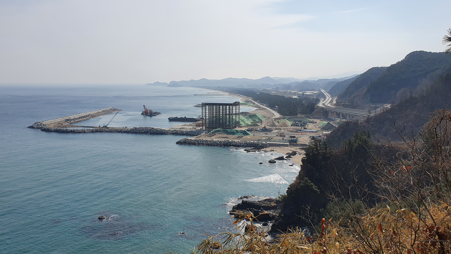
The Hanjae Park certification center is located at the top of a mountain with some of the best views I had so far. Through some free binoculars at the top you could watch waves crashing on the beach and construction workers building some kind of structure on the beach below. I have no idea what they were building, but it looked pretty big.
Hanjae Park to Donghae City
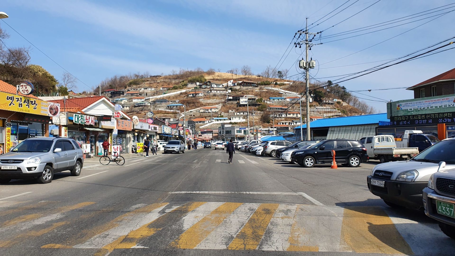
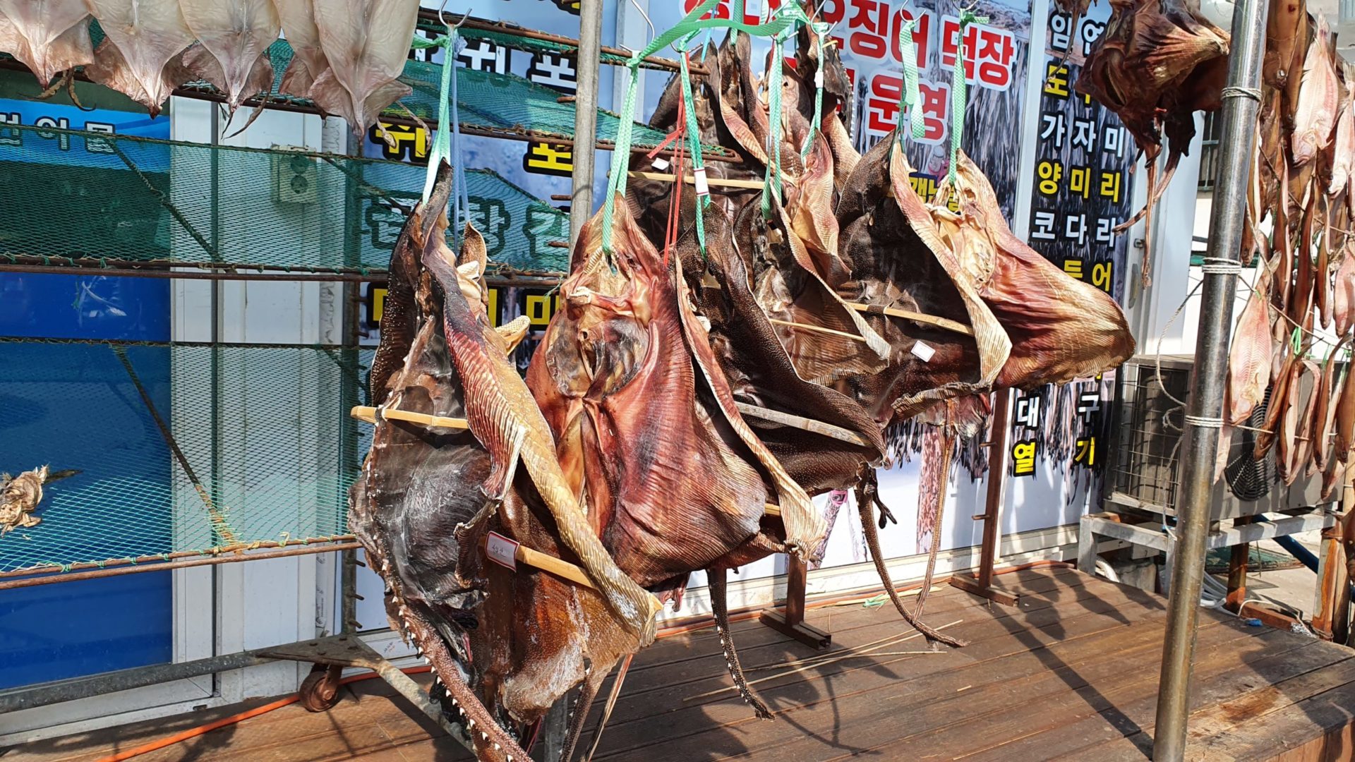
After descending down the mountain I arrived to another small fishing town with all kinds of seafood restaurants and markets. The air smelled strongly of seafood due to the quantity of sting rays, squid, and fish hanging out to dry. Fermented stingray is a Korean food famous among foreigners as being unbearable due to how strong it smells. I never ended up trying it while I was in Korea, but I don’t think I regret that. These dried stingrays look more like Halloween decorations than food to me.
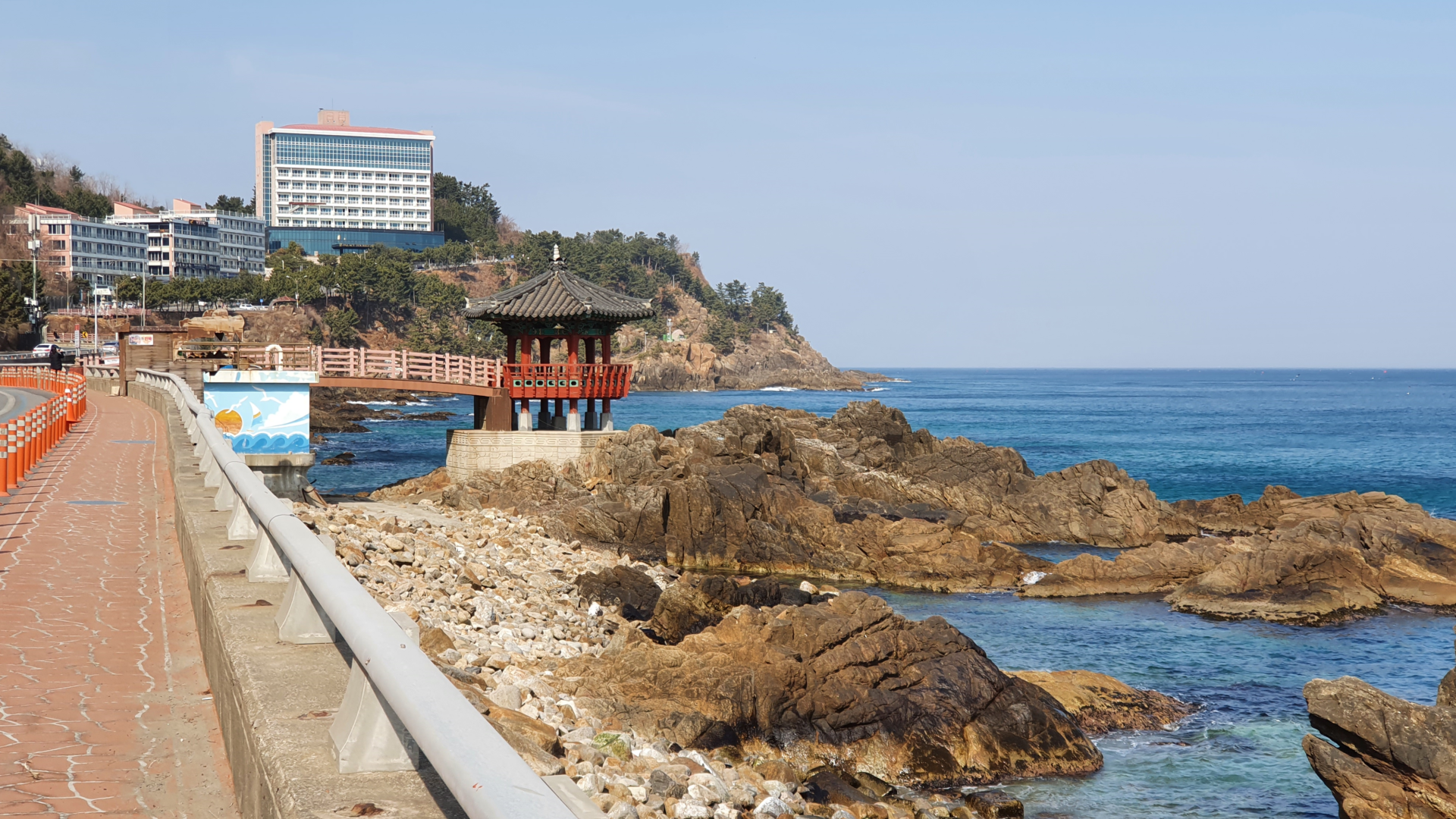
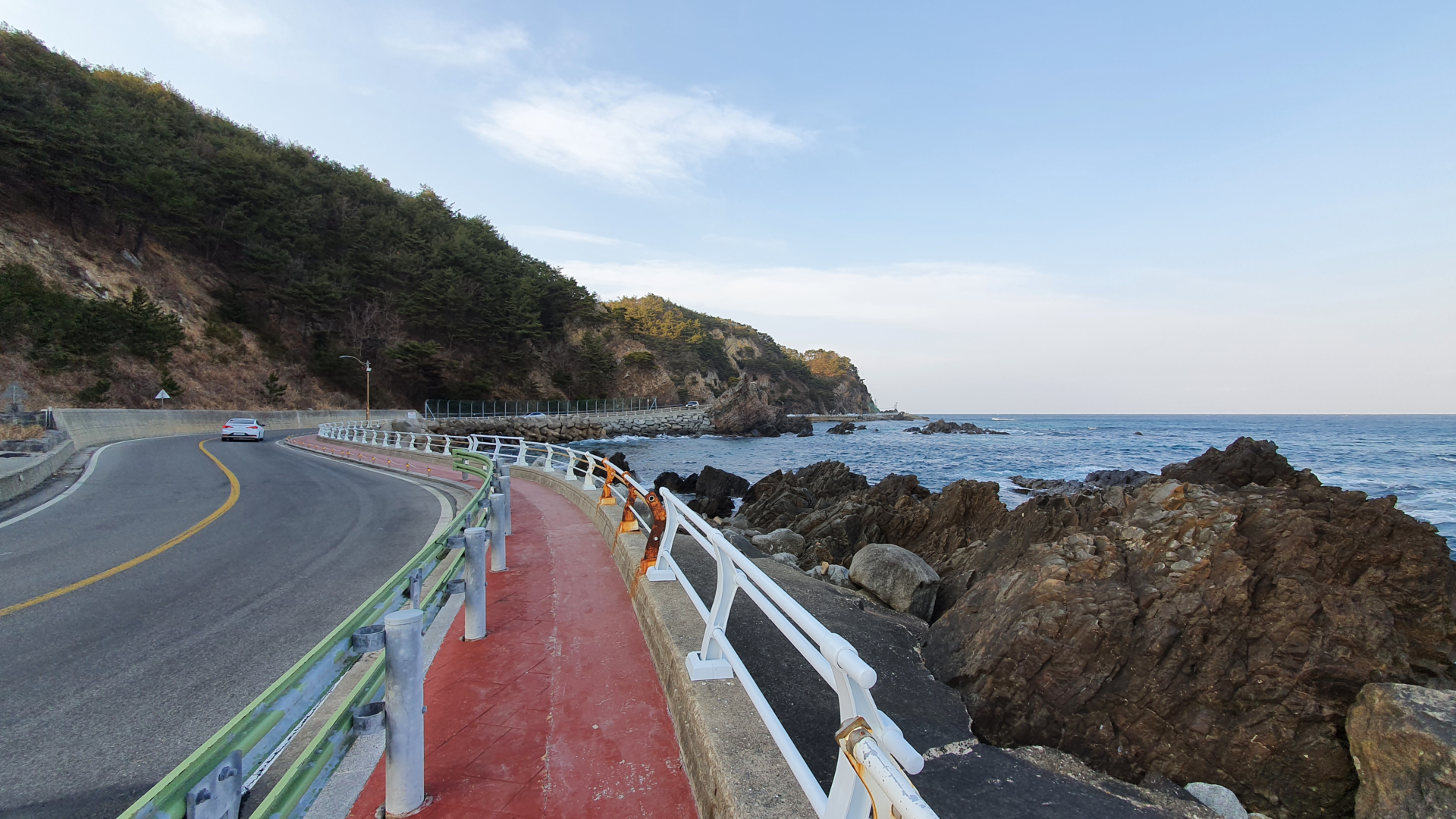
From this small fishing town to Donghae, the next big city along the East Coast Bike Path, the trail followed more steep cliffs with fantastic views. All along the way I rode past pavilions and observation decks, along with expensive beachside resorts. They all looked like nice places to stay, but I tend to stay in love hotels which are much more budget friendly.
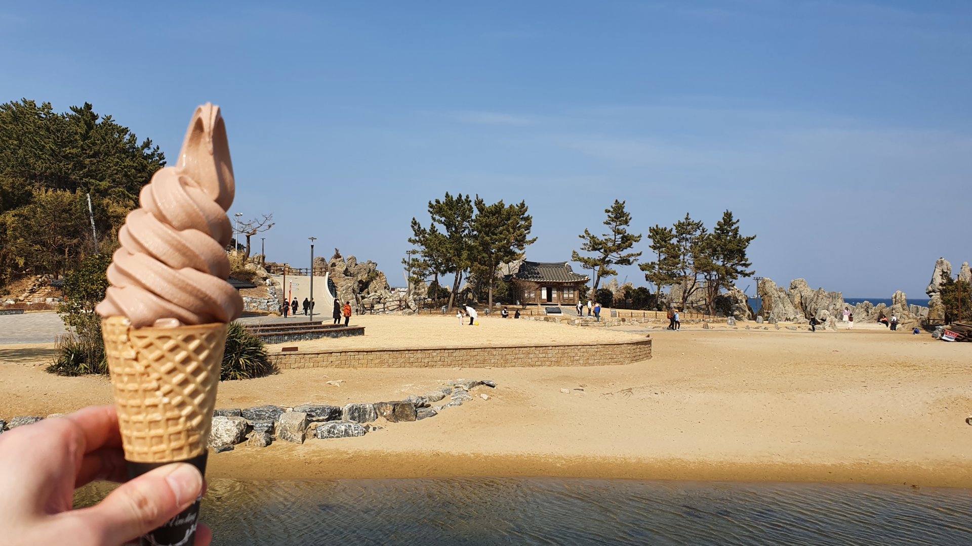
Donghae has a population of about 100,000. For the first time since leaving Pohang three days prior I could feel the city vibes. Beaches were much nicer and more crowded again, and nice cafes and restaurants lined the beaches. After picking up another stamp for the collection, I stopped at a café on the beach for some ice cream. I didn’t want to sit around for too long though, it was already 1:30 p.m., and I wanted to make it to Gangneung before sunset.
Donghae City to Mangsang Beach
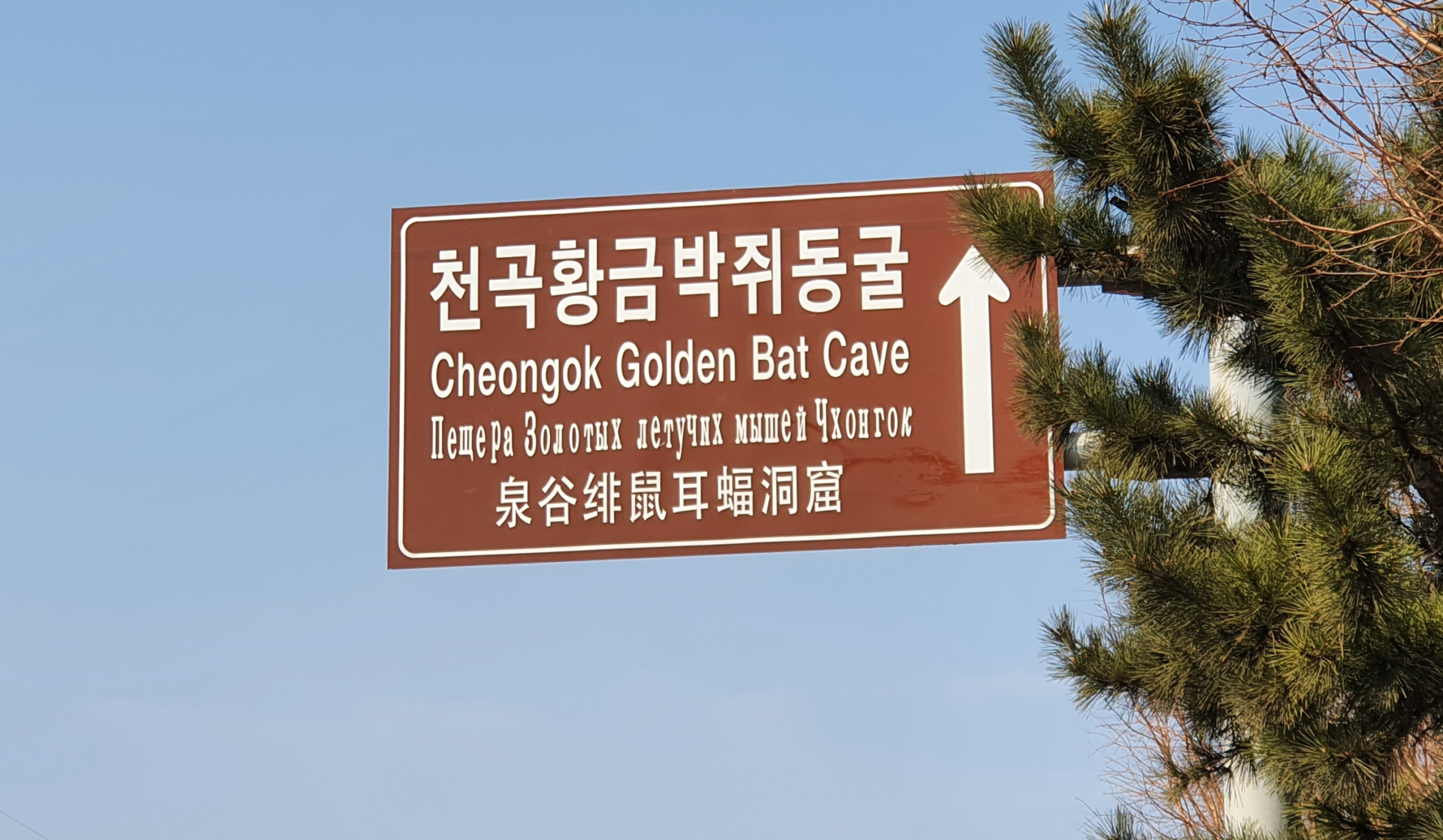
The East Coast Bike Path once again veered away from the coast and into the city of Donghae. One thing I found interesting about this city was that many of the signs were written in four languages – Korean, English, Russian, and Chinese. Throughout Korea all the signs always have English and Korean, but this was my first time seeing Russian. I’m not exactly sure the reason for this, but my best guess is because of its proximity to the Eastern Russian port city Vladivostok. I imagine trade with Russia often goes between Donghae and Vladivostok, and therefore there are more Russians here than elsewhere in Korea.
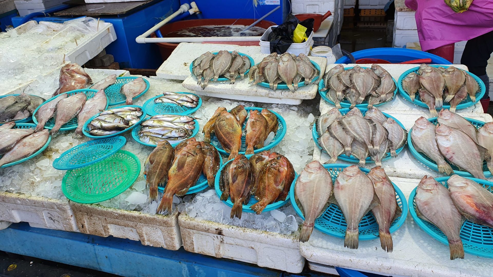
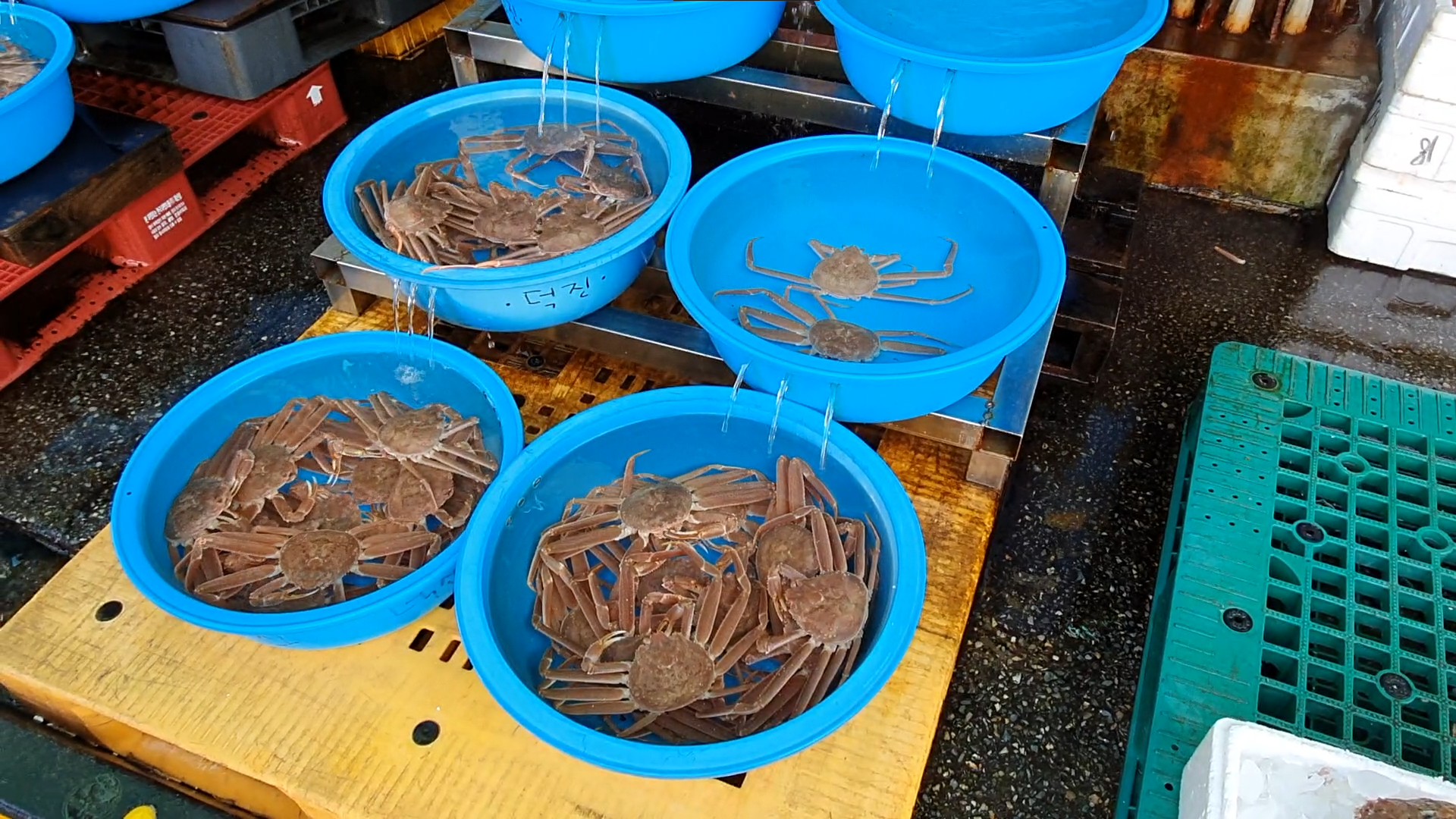
One section of the bike path passed through a dock with a huge seafood market. Everything was as fresh as it could possibly be. Boats docked at the pier to bring in the day’s catch. This would then be sold live at the market. I walked through it looking at all the varieties of seafood available. Crabs, fish, octopi, squid, and tons of other things I couldn’t recognize were sold by the bucketful. I think many of the nearby local restaurants would purchase their stock from this market. It was a cool place to walk around, but I personally didn’t have any need for a live giant octopus!
Shortly after leaving the seafood market, the weather made a drastic change. Instead of warm winds coming from the west, the wind direction shifted and now cold air blew in from the sea. This caused temperatures to drop rapidly. Just 30 minutes ago I was hot in my t-shirt, but now I felt cold even with three layers on. I came prepared for this shift in temperature, but it surprised me how quickly it happened.
Mangsang Beach to Gangneung
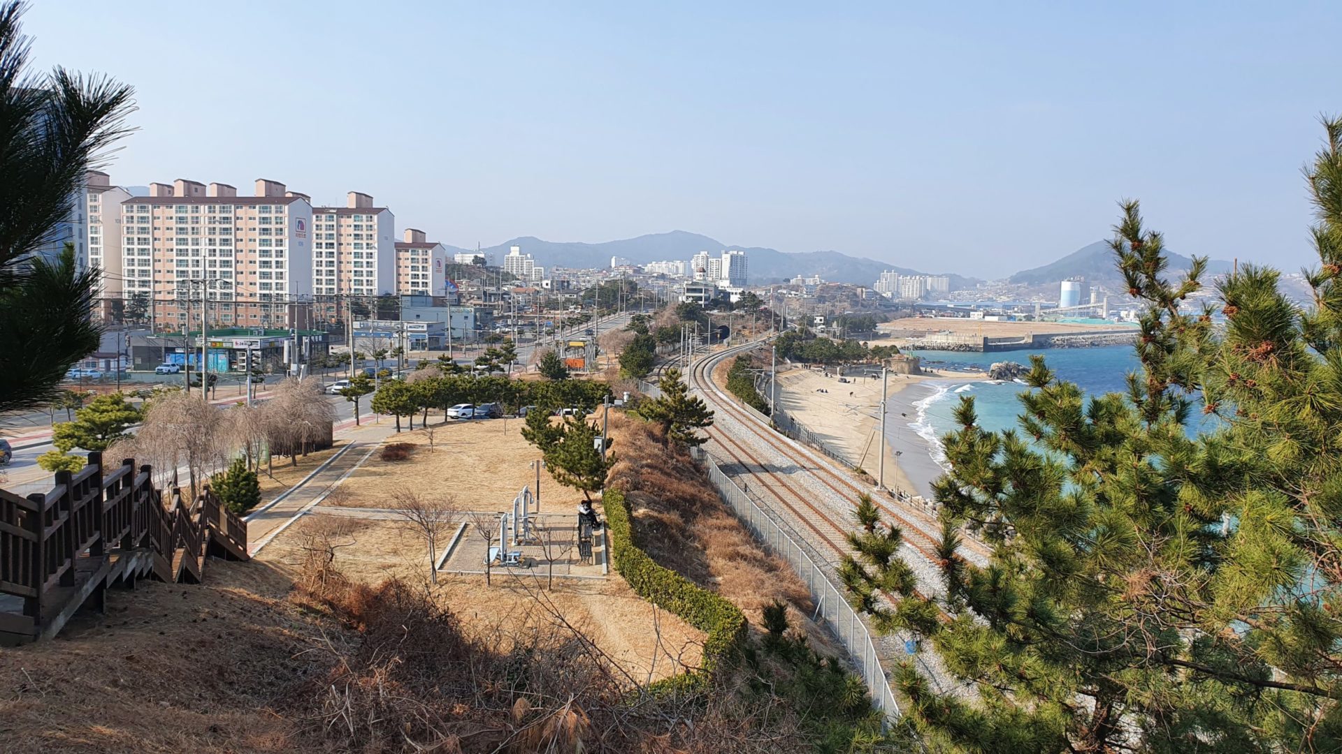
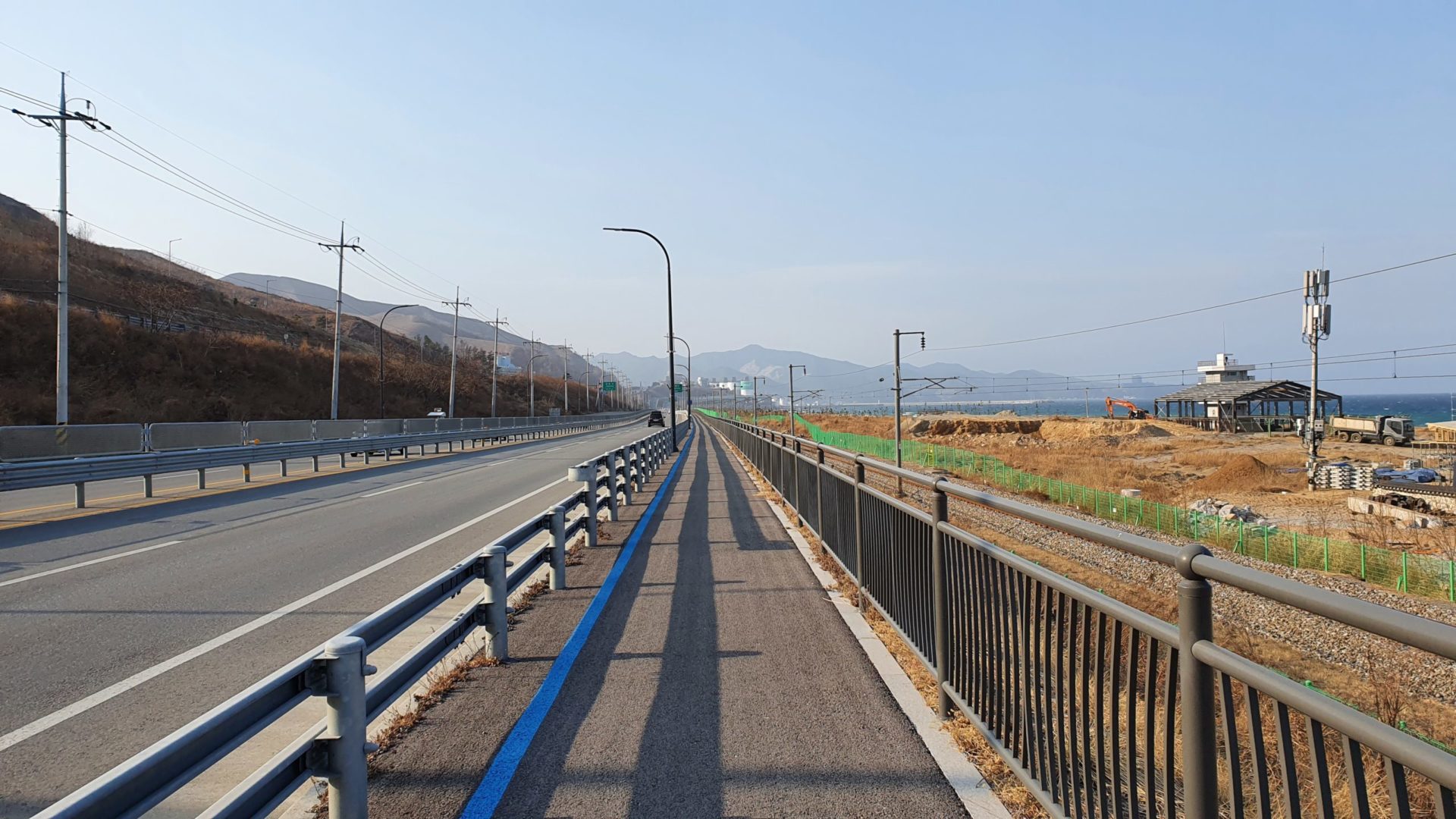
Once again the final stretch felt like the longest section of the day. Day one I dealt with intense winds at the end. Day two I went over mountains at the end. And now on day three I had the cold wind to deal with at the end. Much of the late afternoon followed the KTX tracks on the beach that go north up to Gangneung. These tracks are right on the open beach, leaving me exposed to the cold winds from the East. Somewhere along that path I crossed over a sign that signaled the border between Donghae and Gangneung, but it would still be another hour of riding before I could reach my hotel.
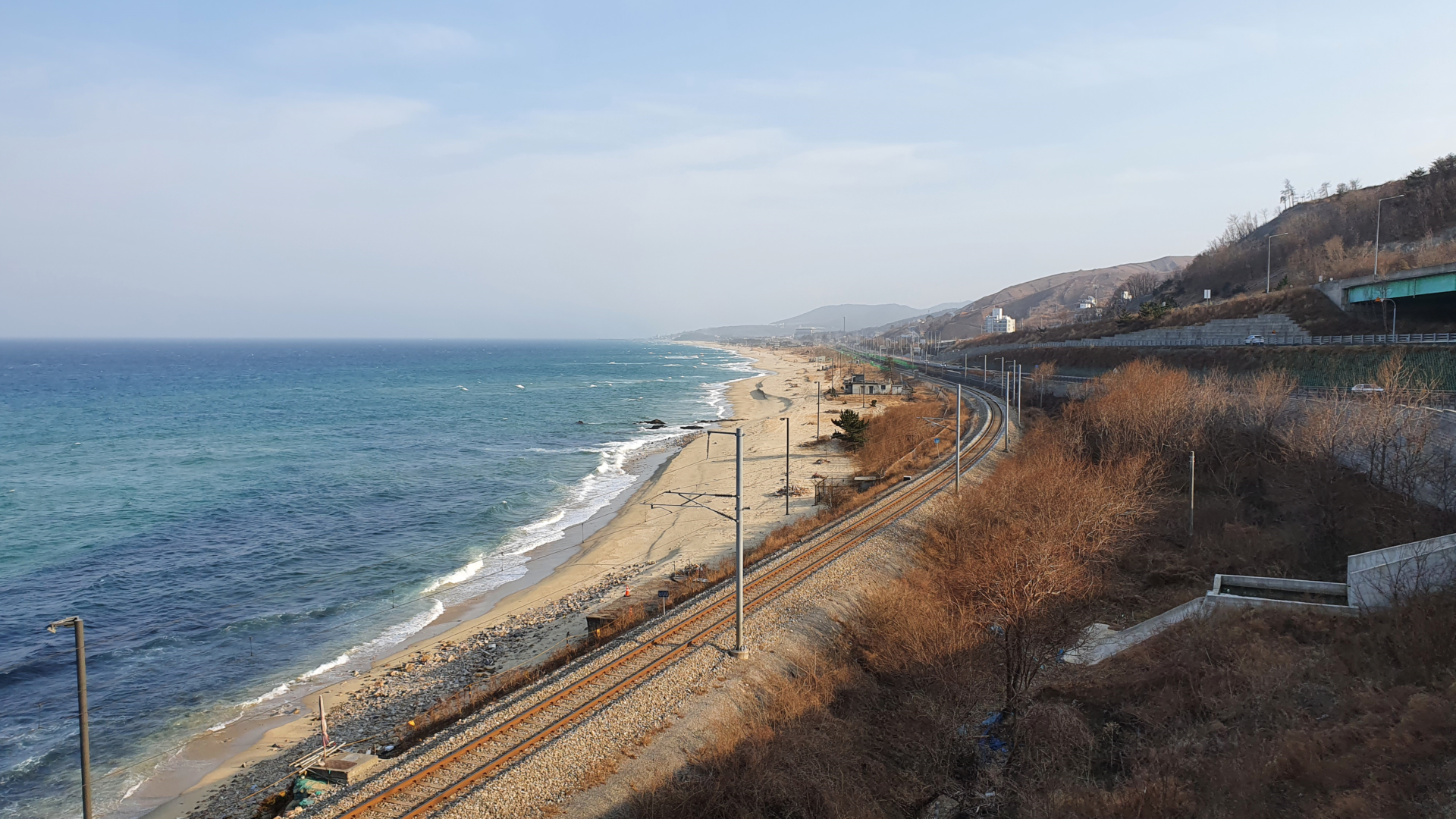
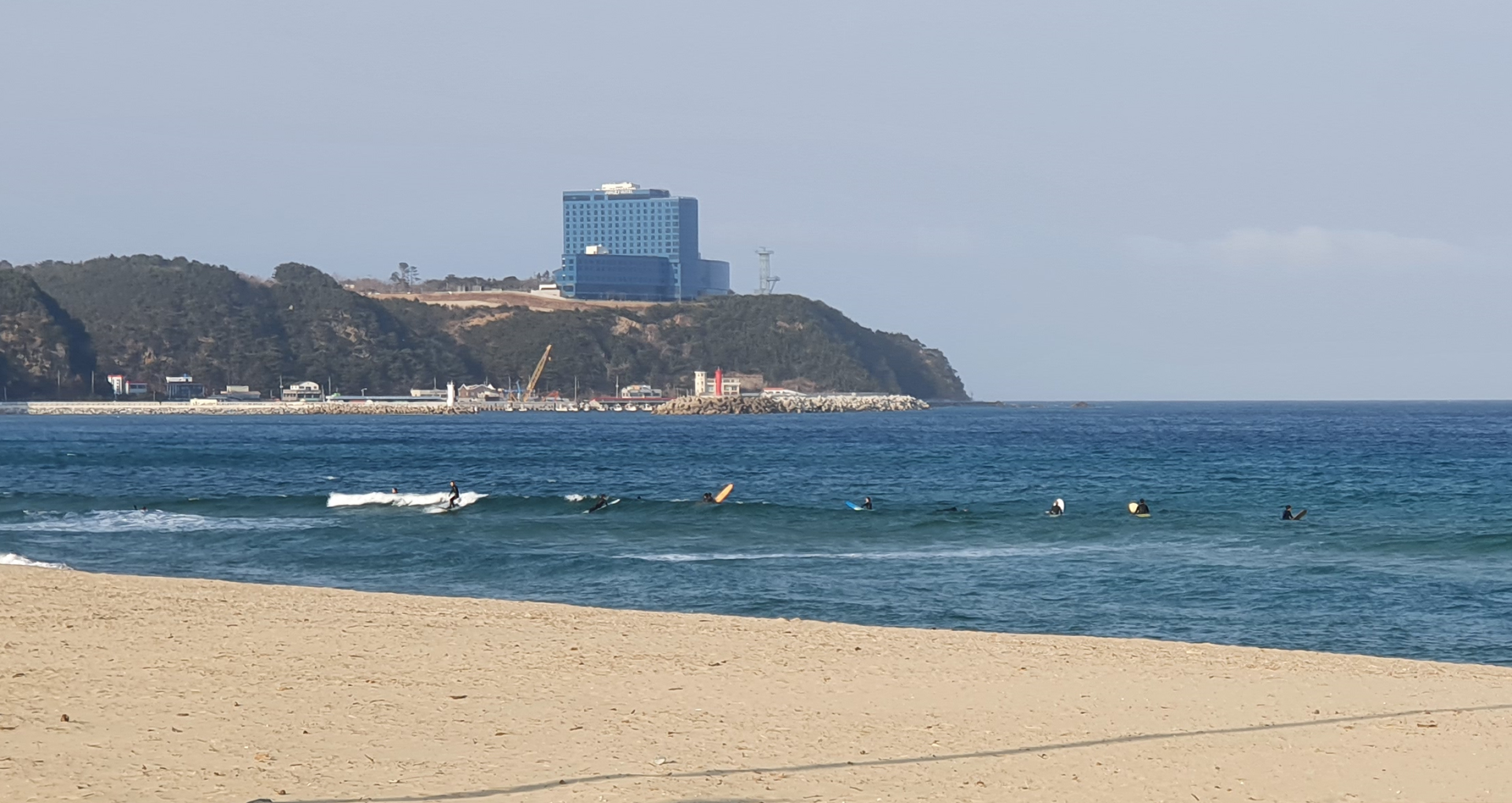
I was surprised to see surfers attempting to catch some waves at this time of year. In my mind I always think of surfing as a summer sport, but here they were in February looking for waves. To me it didn’t look like the waves were big enough to enjoy the surf. Perhaps the wind coming from the sea would eventually bring bigger waves with it? I’m not sure, but I was glad to be on dry land and bundled up in my winter clothes.
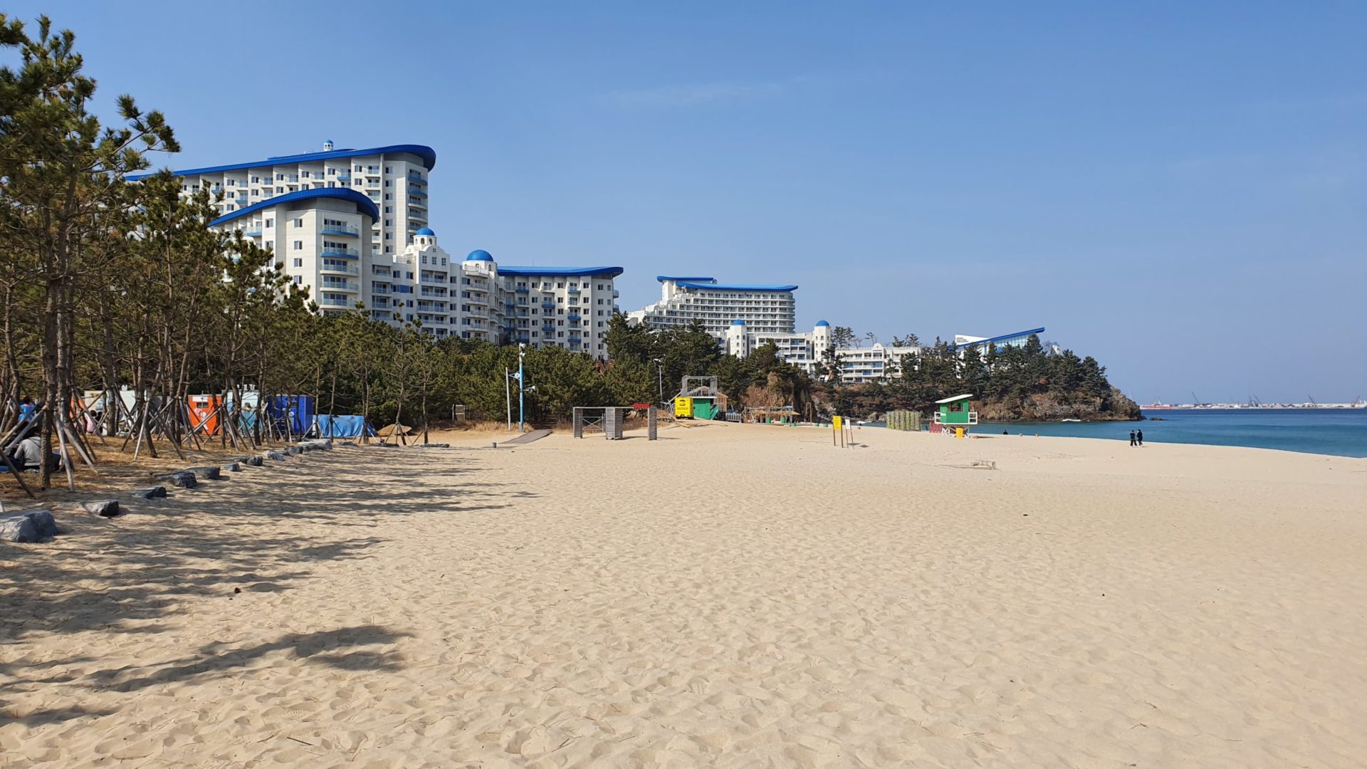
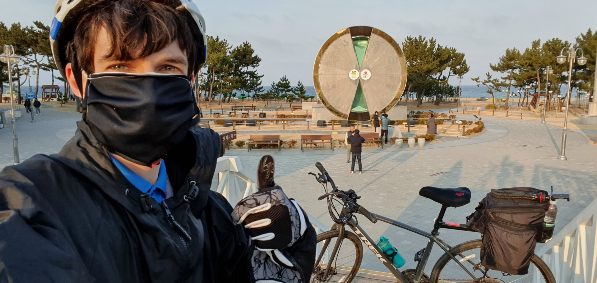
The final couple kilometers took me over one last mountain to end the day. It didn’t feel as big as the others, but it felt nice to end the day coasting into town without having to pedal. My final destination was in a very touristy section of the outskirts of Gangneung. This area is home to the Gangneung Hourglass Park and a famous hotel that is in the shape of a cruise ship.
Evening in Gangneung
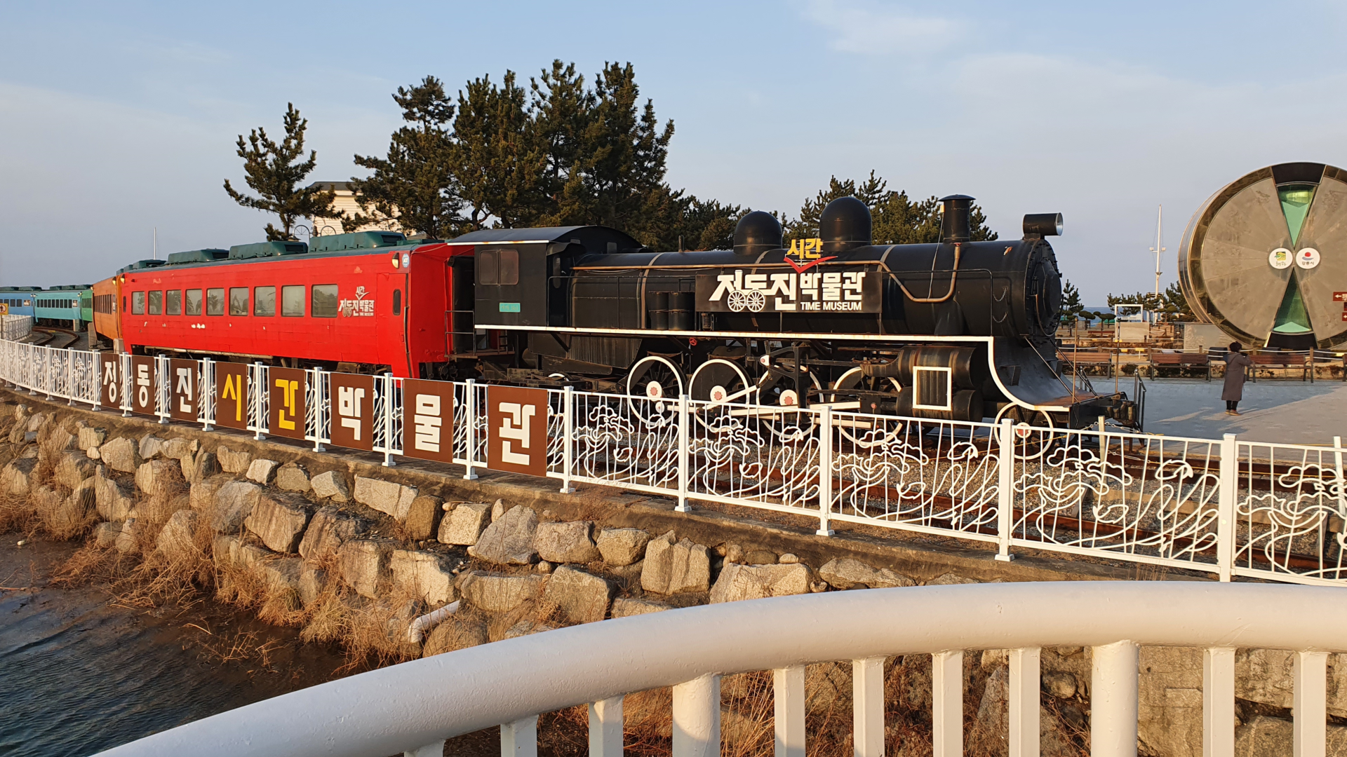
The Gangneung Hourglass Park is a pretty interesting place. I didn’t know anything about it at the time, but this is supposedly the biggest hourglasses in the world. It takes one year for all the sand to reach the bottom, and it is rotated every year on January 1st. I visited in February, so you can see in the picture that most of the sand still sits in the top section. Besides the hourglass, there was also a museum built into an old train. Unfortunately I had just missed the last entry at 5:00 p.m. and didn’t have a chance to take a look inside.
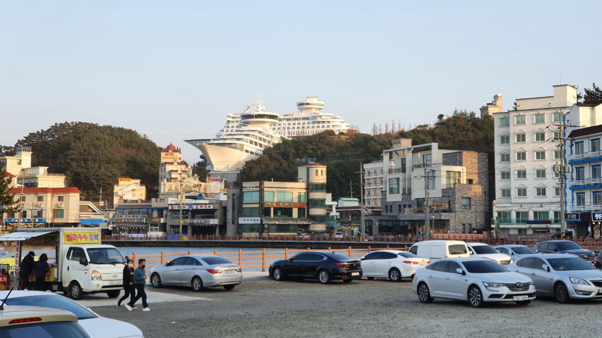
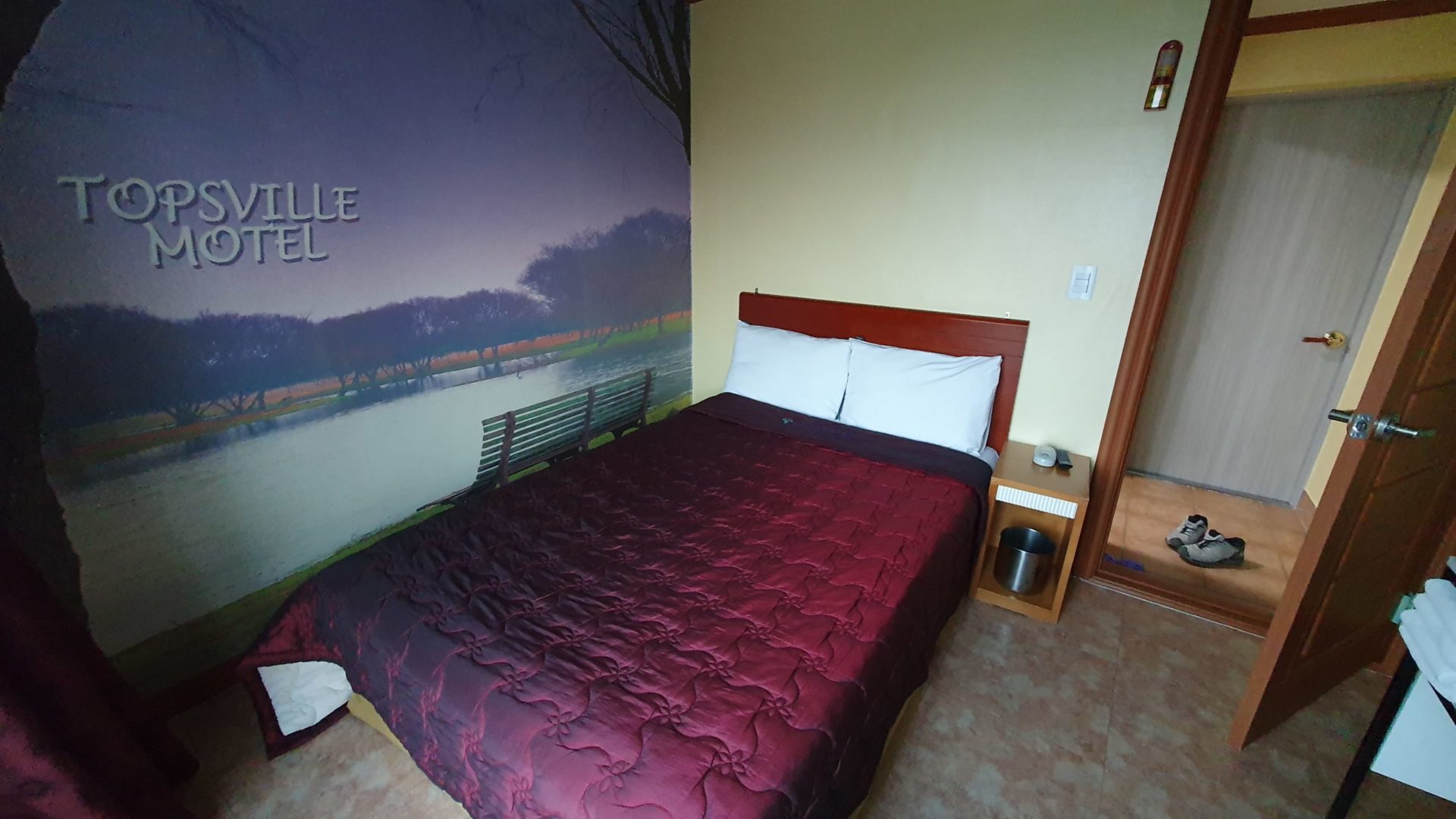
This area is most famous for the cruise ship shaped resort built up on a mountain. If you didn’t know it was a hotel you would think it was two real cruise ships that somehow got stranded up on the mountain. Unfortunately my budget did not allow for staying in those expensive resorts. Instead I found a cheap motel in town for a third of the price. When I’m just passing through for one night I don’t need anything fancy. The Topsville Motel was perfect for me because of it’s price and proximity to the bike path.
On day three I added 82km / 51mi to my distance, putting my total to 262km / 163 mi. Now that I had passed the halfway point I could project how much longer it would take until I arrive at the Unification Observatory at the end of the East Coast Bike Path. With about 150km / 93 miles to go, I knew that I could finish in two more days. The next day I would have to ride as far as possible, because colder weather loomed on the forecast. If I could make it through Gangneung and up to Sokcho the next day, I could finish with a half day on day five when the temperatures drop. My goal was set, and now all I had to do was rest up to take on the challenge awaiting the next day.
Continue reading about my Korea East Coast Bike Path journey:
Leave a Reply
You must be logged in to post a comment.