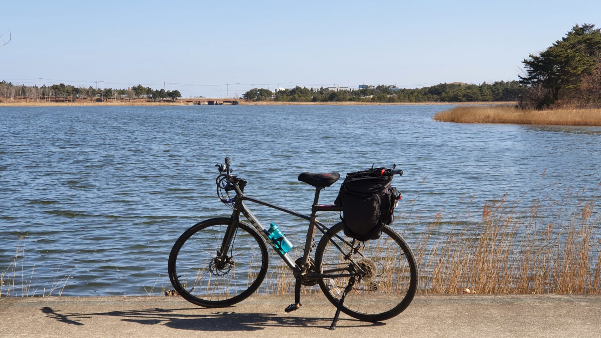
I woke up early in the morning of my last day of cycling the Korea East Coast Bike Path. The sun shined bright and I couldn’t see a cloud in the sky. It would have been the perfect day to conclude this 400km bike ride had it not been for one problem – the cold. For some reason I thought cycling the Korean East Coast in February would be a good idea, but it looked like I might be regretting this decision today. I had extremely lucky weather on the first four days of my trip, but unfortunately it could not continue. The random stretch of warm weather had come to an end, so I bundled up in all my winter gear before hopping on my bike to finish the last 50km to the Unification Observatory at the border with North Korea.
You can read about the first days of my journey here: Day 1, Day 2, Day 3, Day 4
Leaving Sokcho
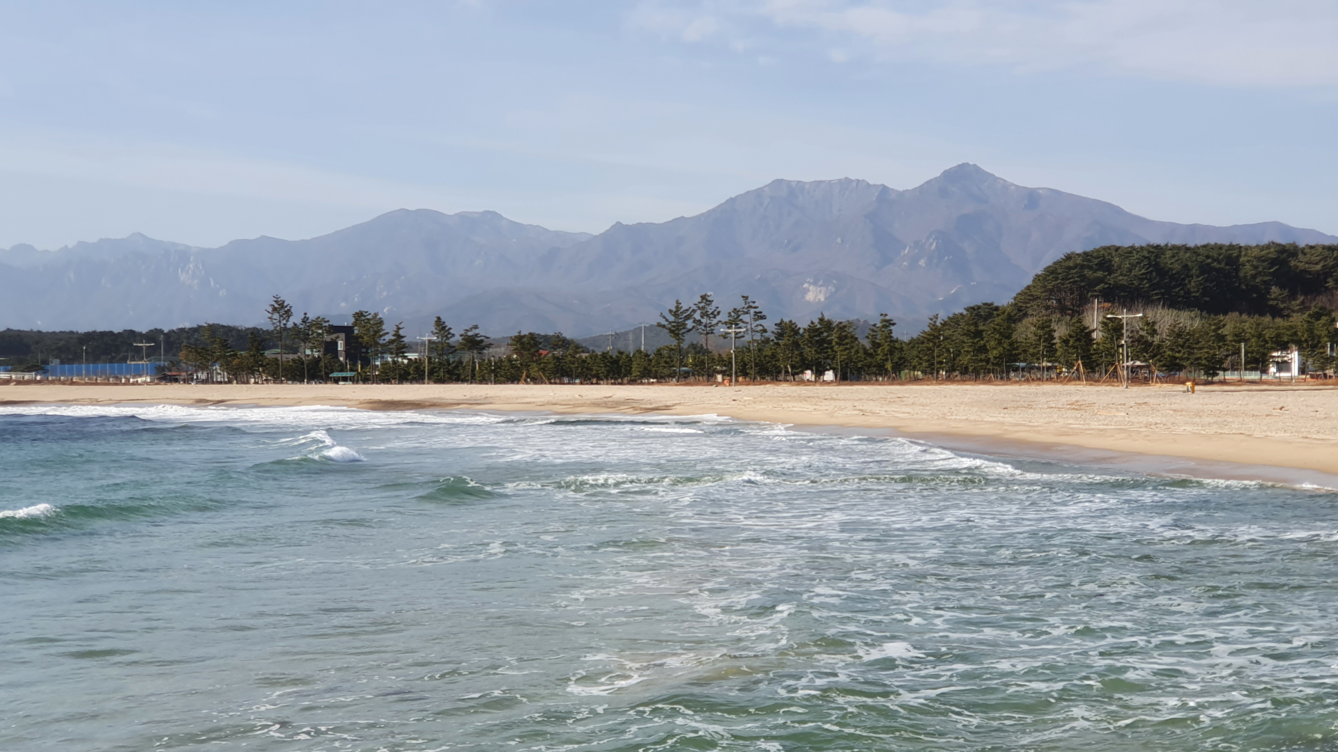
Even though my hands were freezing, I had to stop for some pictures of Seoraksan while leaving Sokcho. Seoraksan is the third tallest mountain in Korea, and is my favorite hike in the country. Just one month prior I had hiked Seoraksan in winter, but I never had such a clear view of the mountain. It’s impossible to show the scale of mountains in photos taken with a cellphone, but it was a very impressive sight in person. It was almost hard to believe I had hiked all the way up there and down in one day.
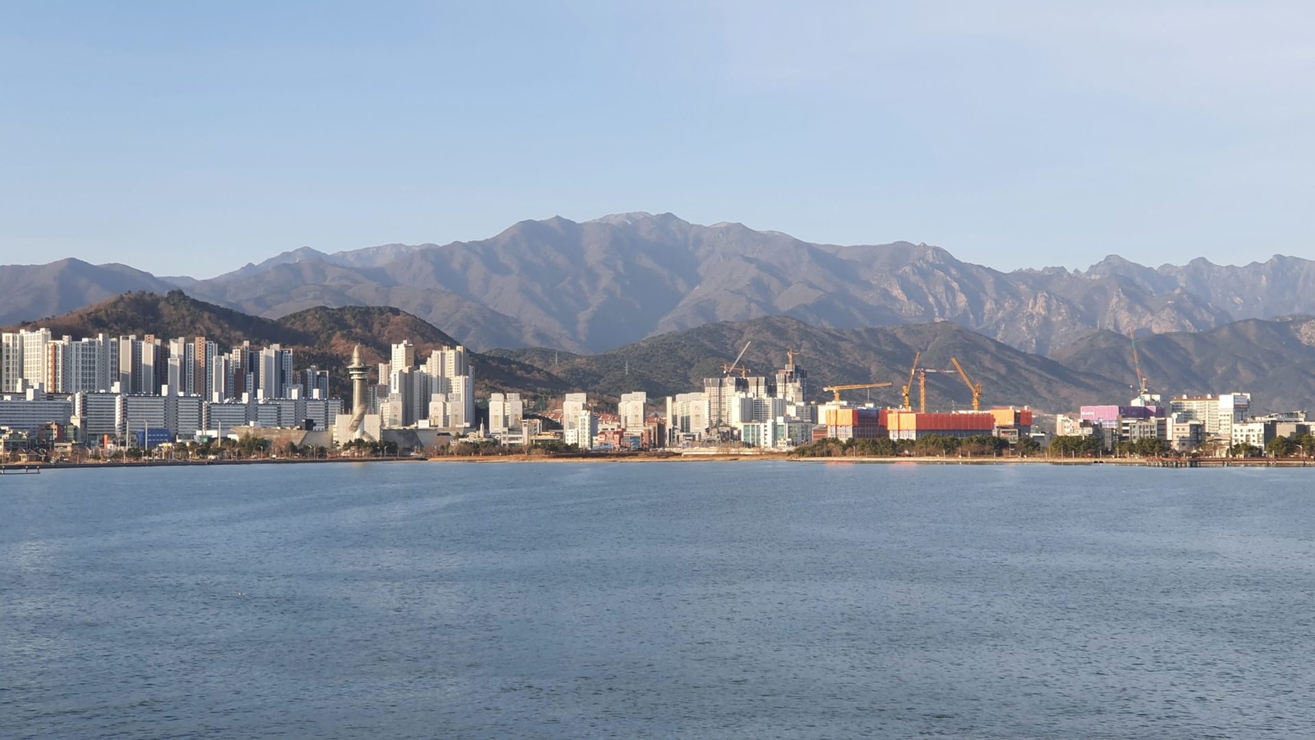
Not only could I clearly see the peak of Seoraksan but also the Ulsanbawi, a rock formation that I hiked to in 2019 (It is the large rocks on the far right side of the photo). This rock formation is one of the most famous sights in Sokcho and in Seoraksan National Park, but I never realized how clearly visible it is from the city.
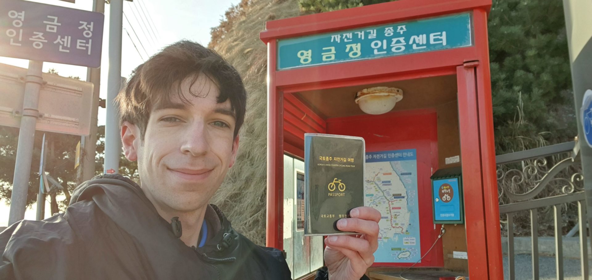
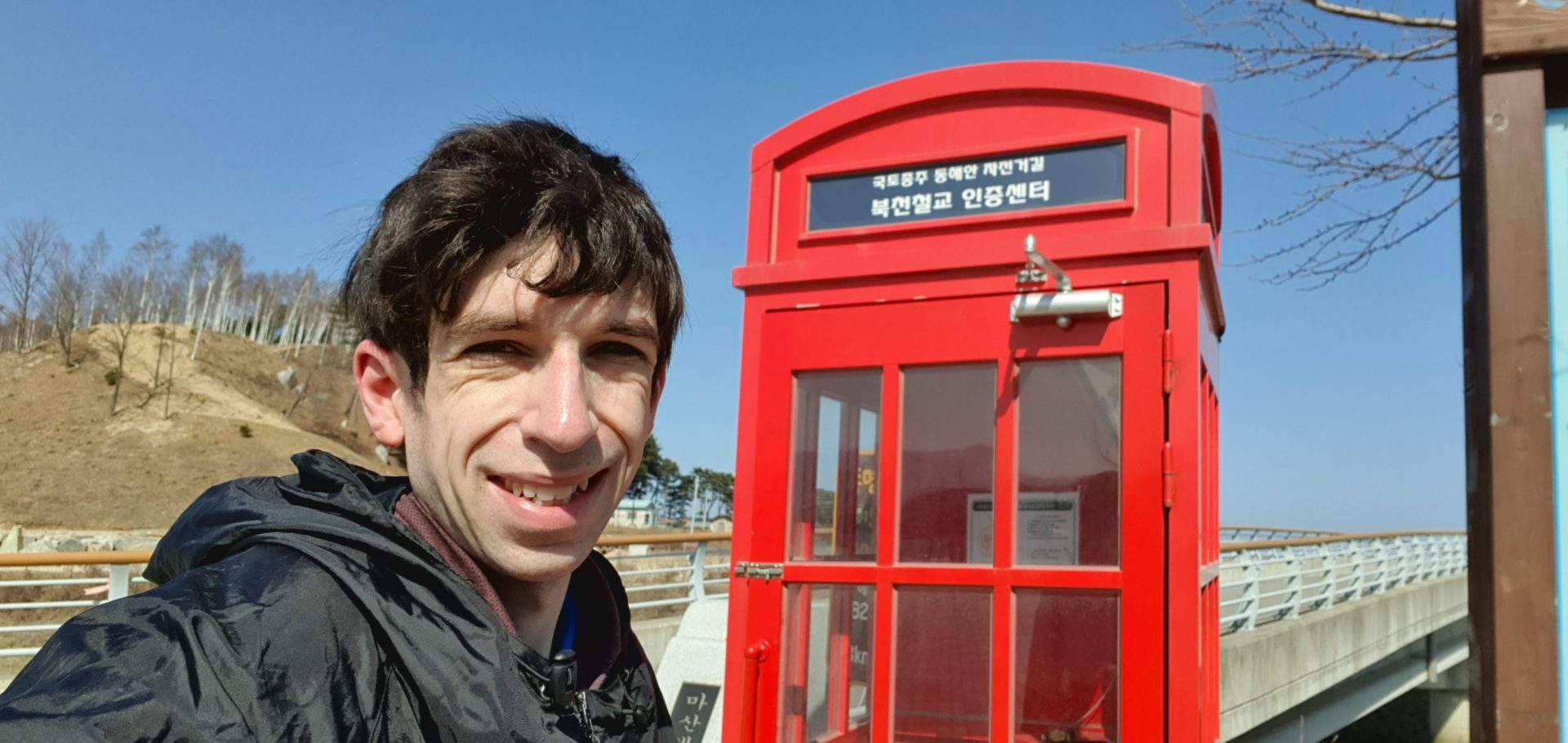
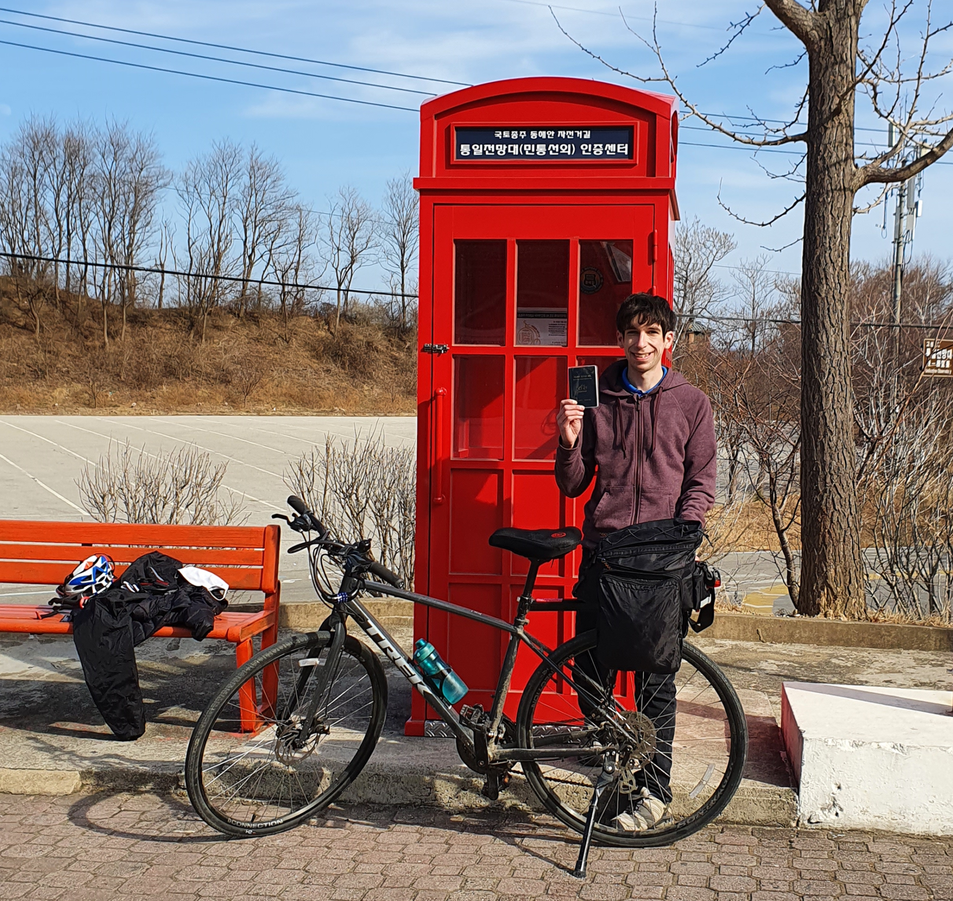
Two Quick Stamps
Out of all of the stamps in the entire cycling network in Korea, I think these two are the closest together. I arrived at the first one after just 15 minutes of riding, and the second stamp was less than 30 minutes further. I’m not sure why they decided to put two so close to each other here. It made me feel much more accomplished than I actually was at that point in the morning.
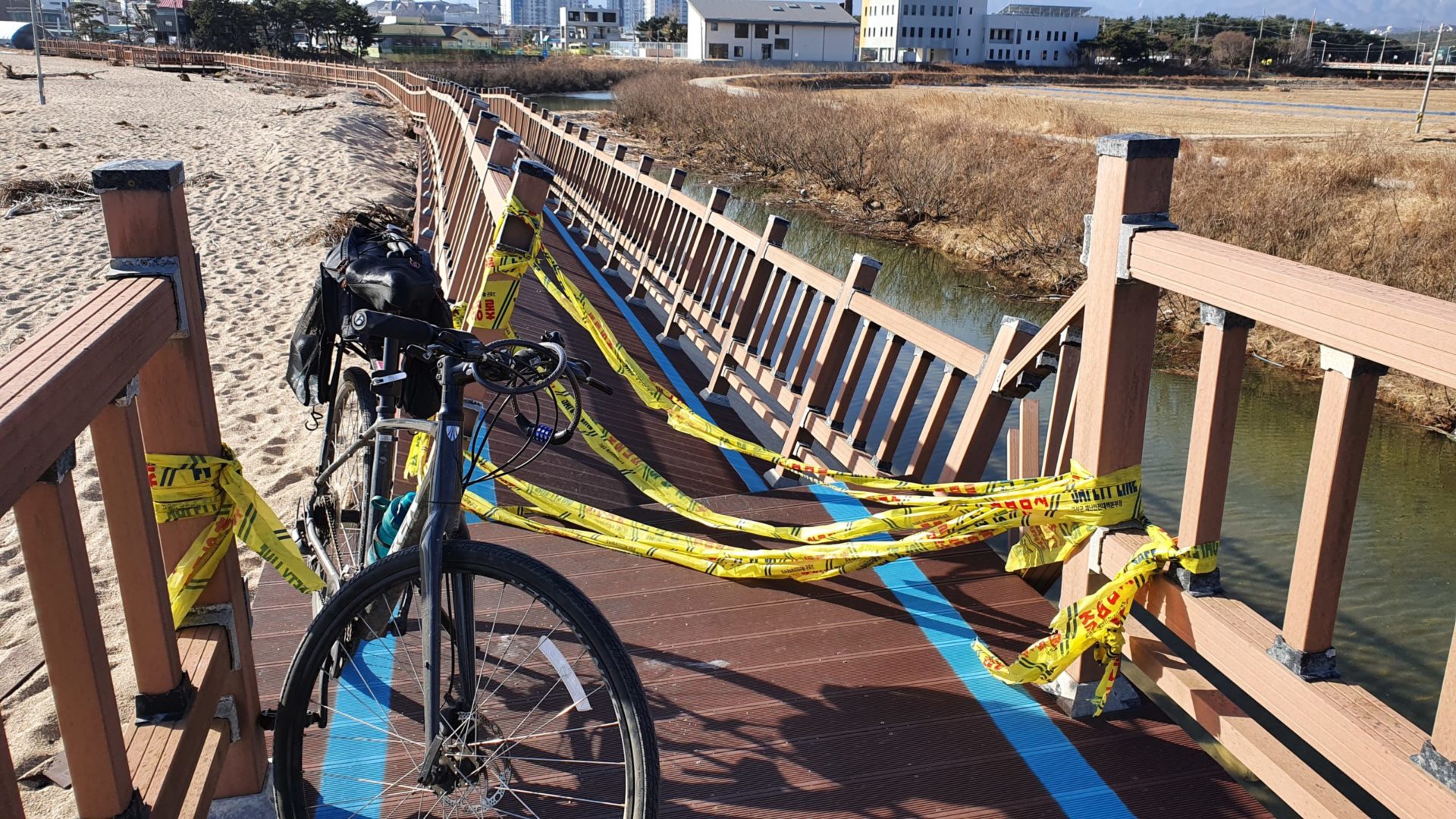
A Broken Road
Throughout the entire East Coast Bike Path, you simply follow a blue line all the way. However, while riding along these bridges I came to an obstacle I had never come across before – a broken road! I must have missed a detour sign somewhere; this bridge was completely roped off and falling into the river below. I turned around to see if I could see where I should’ve turned at, but it looked quite far back. This left me with one decision. Do I turn around and backtrack that long distance, or do I try to lift the bike over the bridge?
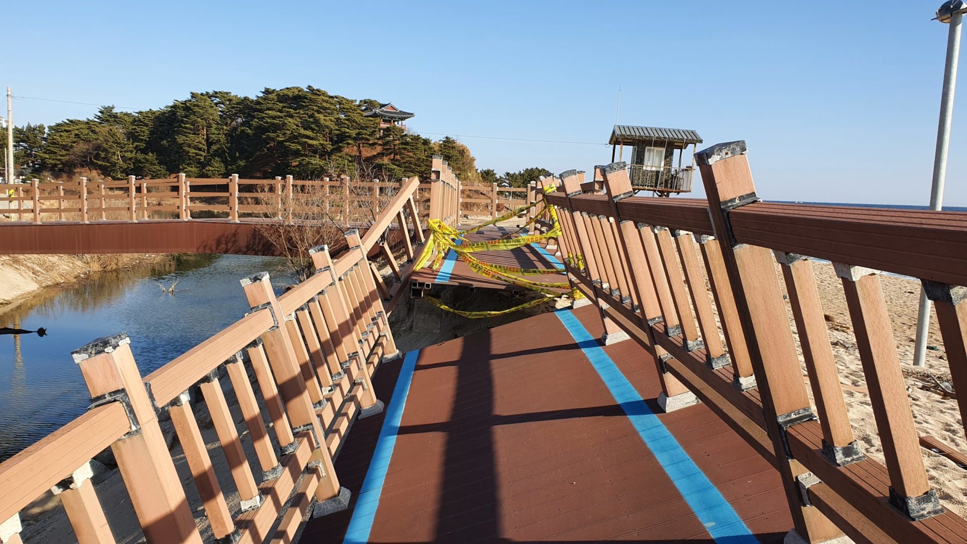
As the cold wind blew over me, I made my decision. I would try to lift the bike over. Turning back now would just mean more time in the cold. The closer I got to the edge of the bridge, the steeper the incline became. At the very edge it felt like the whole bridge could collapse into the water at any point with the added weight of me and my bike. In hindsight I probably made the wrong choice here, but I did manage to lift the bike up and over the broken bridge safely.
A Cold Picnic Lunch
As usual, after a couple hours of riding I started to look for a good place to have lunch. Once you leave Sokcho City you end up in really rural areas pretty quickly. I eventually just settled on stopping at a convenience store for a quick and easy picnic lunch. At this point the cold wind picked up a bit, so I ended up eating in the shade hidden behind a large boulder. I traded the warmth of the sun for protection from the wind. My hands were pretty cold, but after a short break I got back on the bike to finish the journey.
The Middle of Nowhere
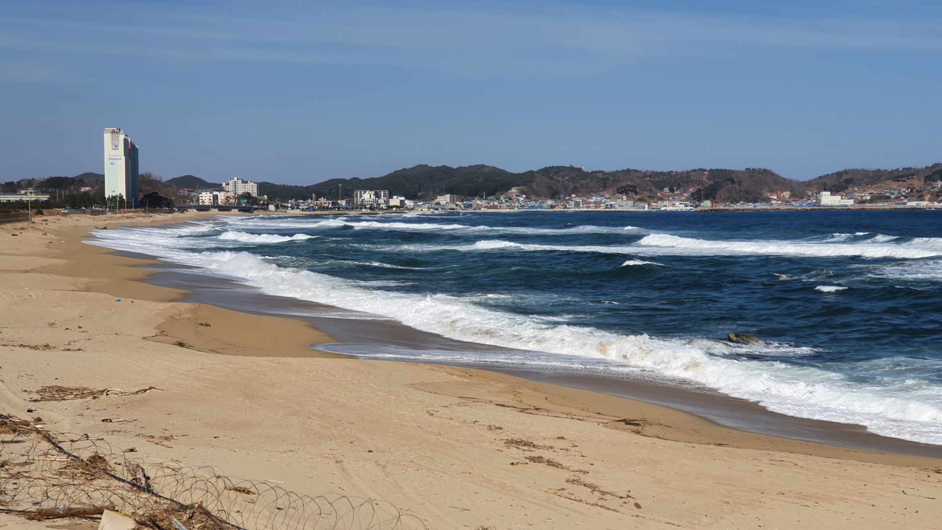
After my quick lunch break, the rural scenery continued. This area is pretty sparsely populated relative to the cities I had ridden through in the days prior. Occasionally I passed by beaches that looked like they might be popular in the summer time, but were completely dead in the winter time.
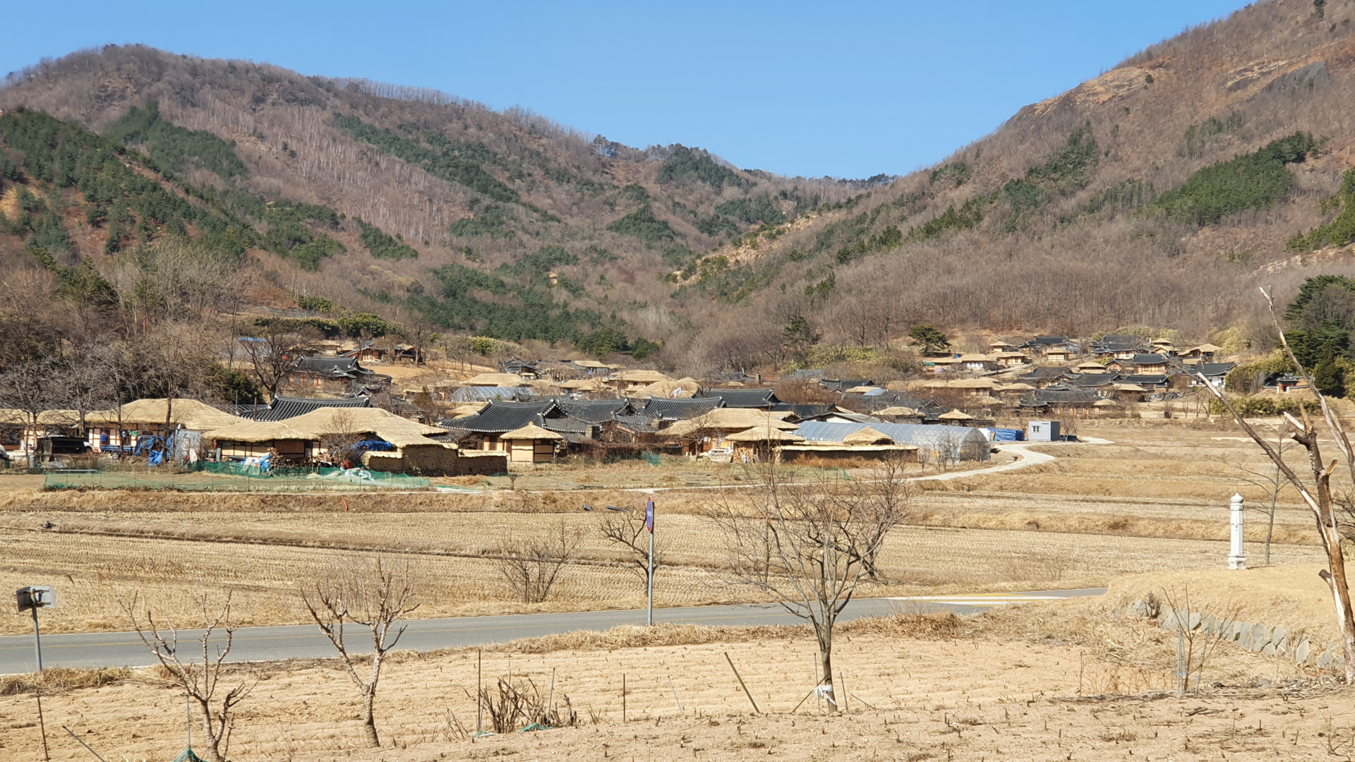
After passing by two small lakes, I found myself at the entrance to Goseong Wanggok Village. Many traditional folk villages exist throughout Korea as a sort of open air museum to preserve traditional architecture and culture. Most of the time these villages are made up of all hanok buildings that use traditional tile roofs, but this village included older grass roofed houses as well. I didn’t spend any time walking around the village, but I enjoyed looking at it from a distance as the bike path went past it.
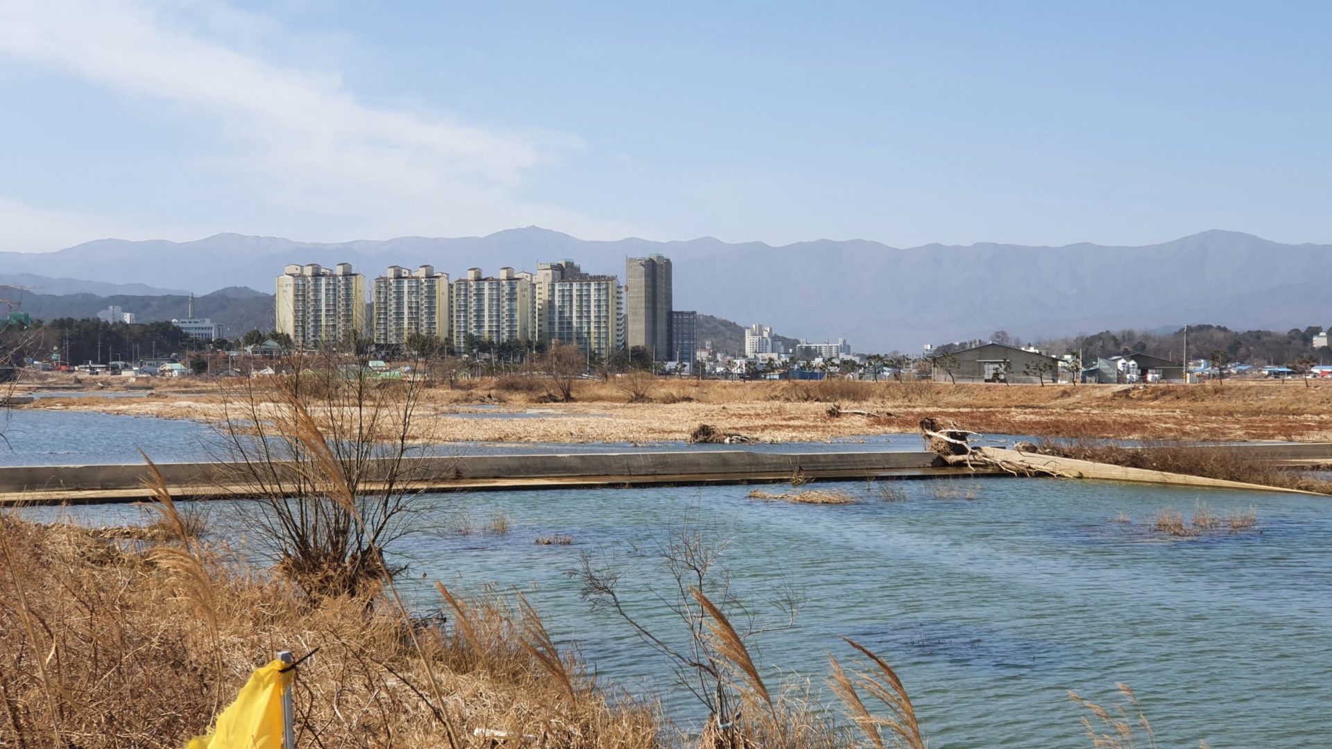
All throughout Korea you can find high rise apartment buildings that all look exactly the same. They usually come in sets where it looks like the same building was copied and pasted a few times. These apartments dominate the skylines of major cities with high population density. However, I was surprised to find that they exist even out here in the middle of nowhere.
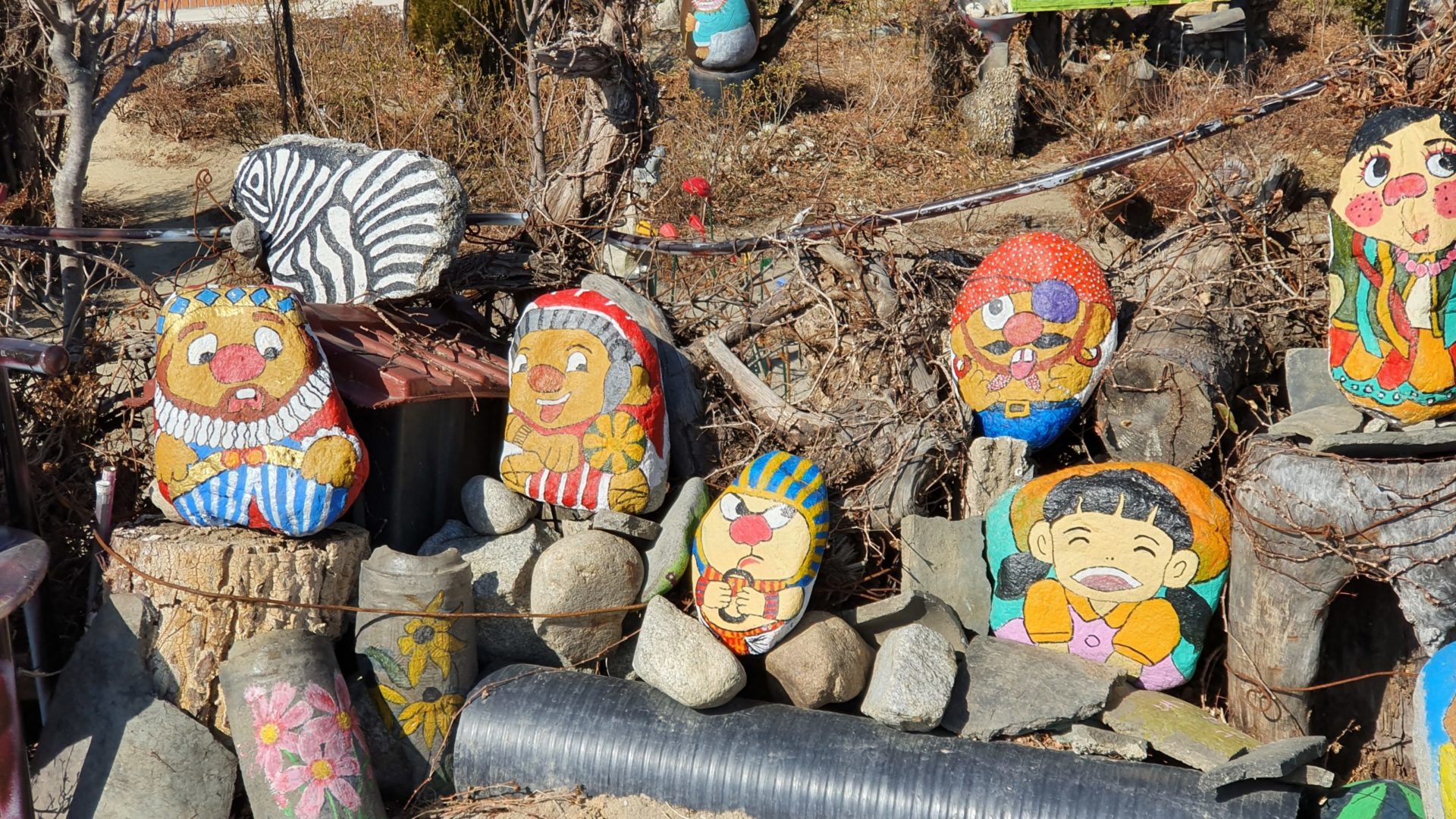
At the front of the high rise apartments I saw an old house with tons of painted rocks and various art projects on display. It was all spread out over a pretty large area, so I wasn’t able to get it all in the picture. I’m not sure if these are characters from some Korean cartoon, but it all appeared to me to be from one artist. They probably have lived in that old house painting rocks for decades before those high rise apartments were built.
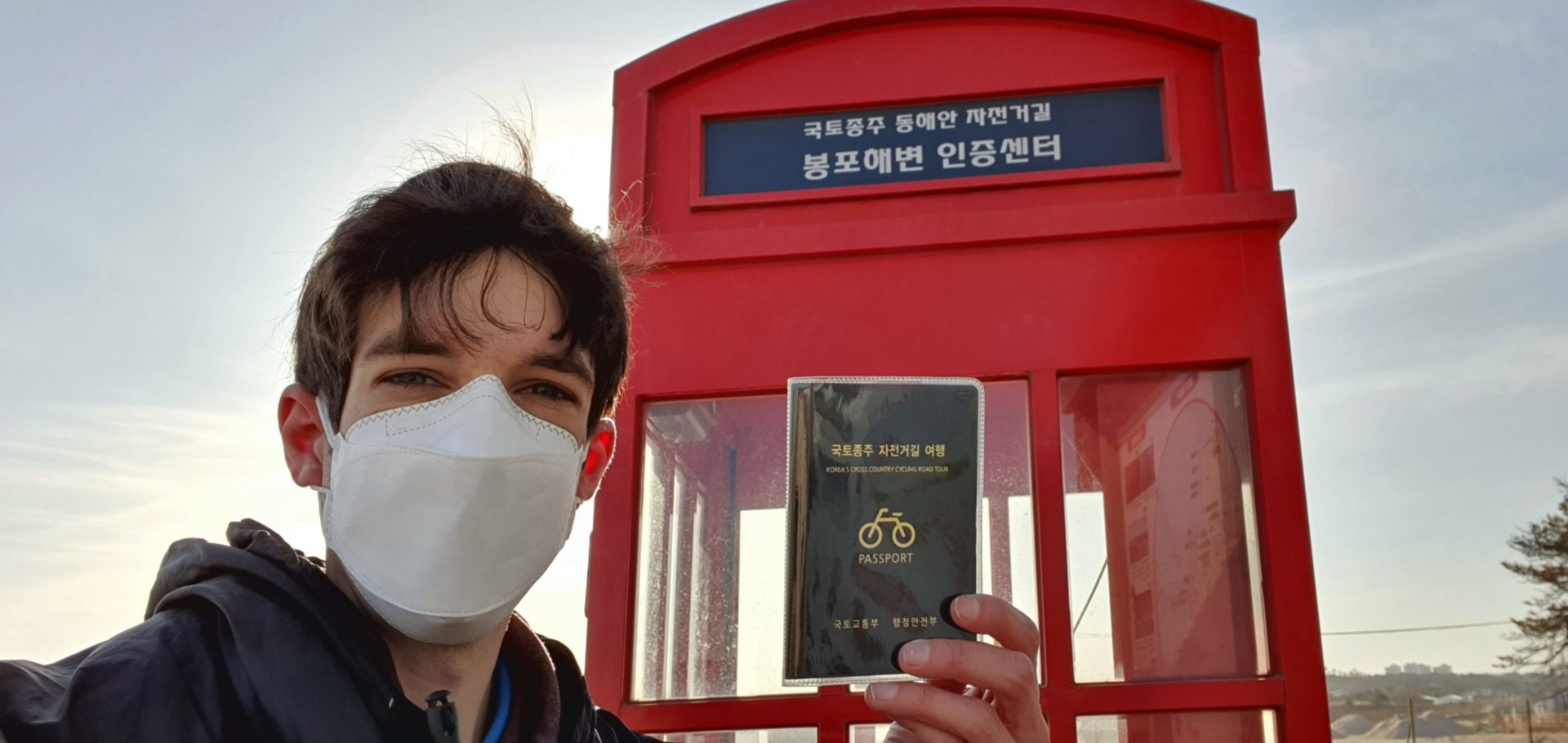
Around 1:00 p.m. I finally arrived at the penultimate stamp booth. From here only 29km remained until the Unification Observatory at the end of the road. By now my fingers were frozen, but I had already come so far. Pushing through the final stretch shouldn’t prove to be too difficult from here.
The Final Stretch
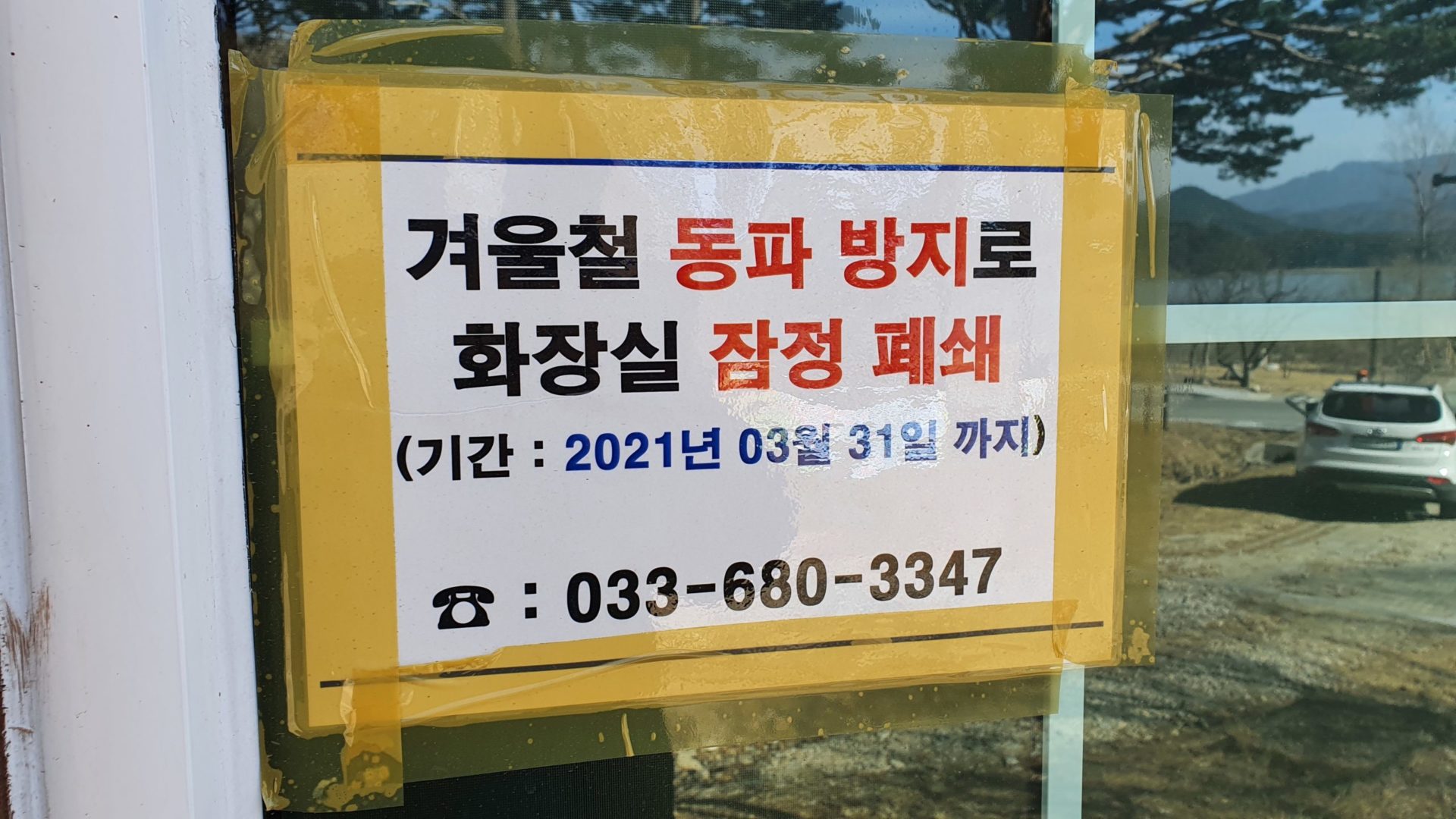
On this final stretch of road I encountered an unexpected issue. I stopped at a beach to use the restroom to be met with this sign. “Restroom temporarily closed to prevent freezing in winter. (Until 03/31/2021)” Okay, no problem. I could wait until the next one. But from here on out, restroom after restroom had the same sign posted. I must have tried a dozen more until I finally arrived at a museum that had an open restroom. Somehow, among the wind, cold, injured knee, and mountain climbs, this was the most uncomfortable I had been on the entire trip.
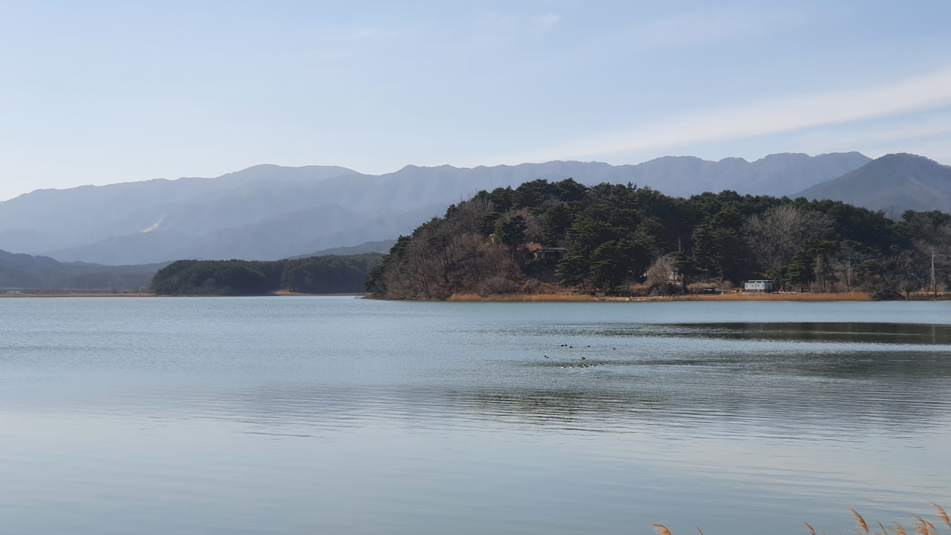
With that issue taken care of, the rest of the ride was pleasant from here out. The wind started to die down a bit, and I didn’t feel quite as cold anymore. The last 15km or so flew by as I enjoyed some nice views of mountains, lakes, and beaches.
Mission Complete
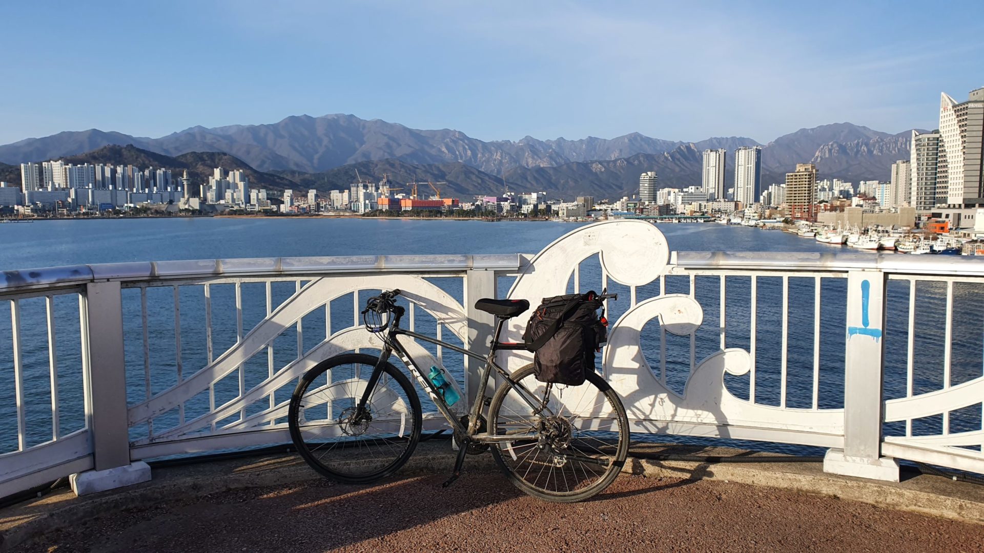
At 2:23 p.m. on my fifth day of riding, I had finally arrived at the Unification Observatory and completed the 400 km journey! When I first set off from Pohang five days ago I had no idea if I would make it here or not. I rarely saw any other distance cyclists along the way, so I felt accomplished in the fact that I completed the journey in winter at a time of year that most people wouldn’t attempt it.

Even after finishing my stamp book I still had a journey ahead – the journey of returning home to Daejeon. The easiest way home from here was to backtrack about 13 km to a small town called Daejin where I could take a three hour intercity bus to Seoul. From Seoul I could then connect to another two hour bus to Daejeon, then finally ride my bike a final 5 km home from the bus terminal.
After all was said and done, my GPS put my total distance at 413.84 km / 257.15 mi, by far the longest ride I have ever accomplished. All things considered I think I had the perfect days for this ride. Despite cycling in February, the weather was quite warm for most of the days and I never ran into any rain or snow. I didn’t have a single puncture, my knee held up great despite still recovering from an injury, and I only fell off the bike twice! Out of all of the paths I’ve cycled in Korea, the East Coast Bike Path is by far my favorite. I recommend anyone interested in long distance cycling in Korea to take some time to ride the East Coast!
Leave a Reply
You must be logged in to post a comment.