Day one of my Korea East Coast Bike Path trip began at sunrise in the coastal city of Pohang, 77mi / 123km north of Busan. I rode north following the coast and collected two stamps in my Korea Cross Country Cycling Road Tour Passport, ended the night at a hotel on Goraebul Beach in Yeongdeok County. In total I covered 84km / 52mi, leaving approximately 320km / 200mi and 15 stamps to go until I reach the end point at the Unification Observatory near the border with North Korea.
Korea East Coast Bike Path Day 2 Begins
Because I didn’t book a hotel right on the beach this time, I decided to skip waking up early for sunrise. Instead I thought it would be best for me to sleep in a bit longer to rest my legs for the days ahead. My plan for the morning was to be on the bike by 8:30 a.m. and stop for a picnic brunch on the beach about an hour down the road.
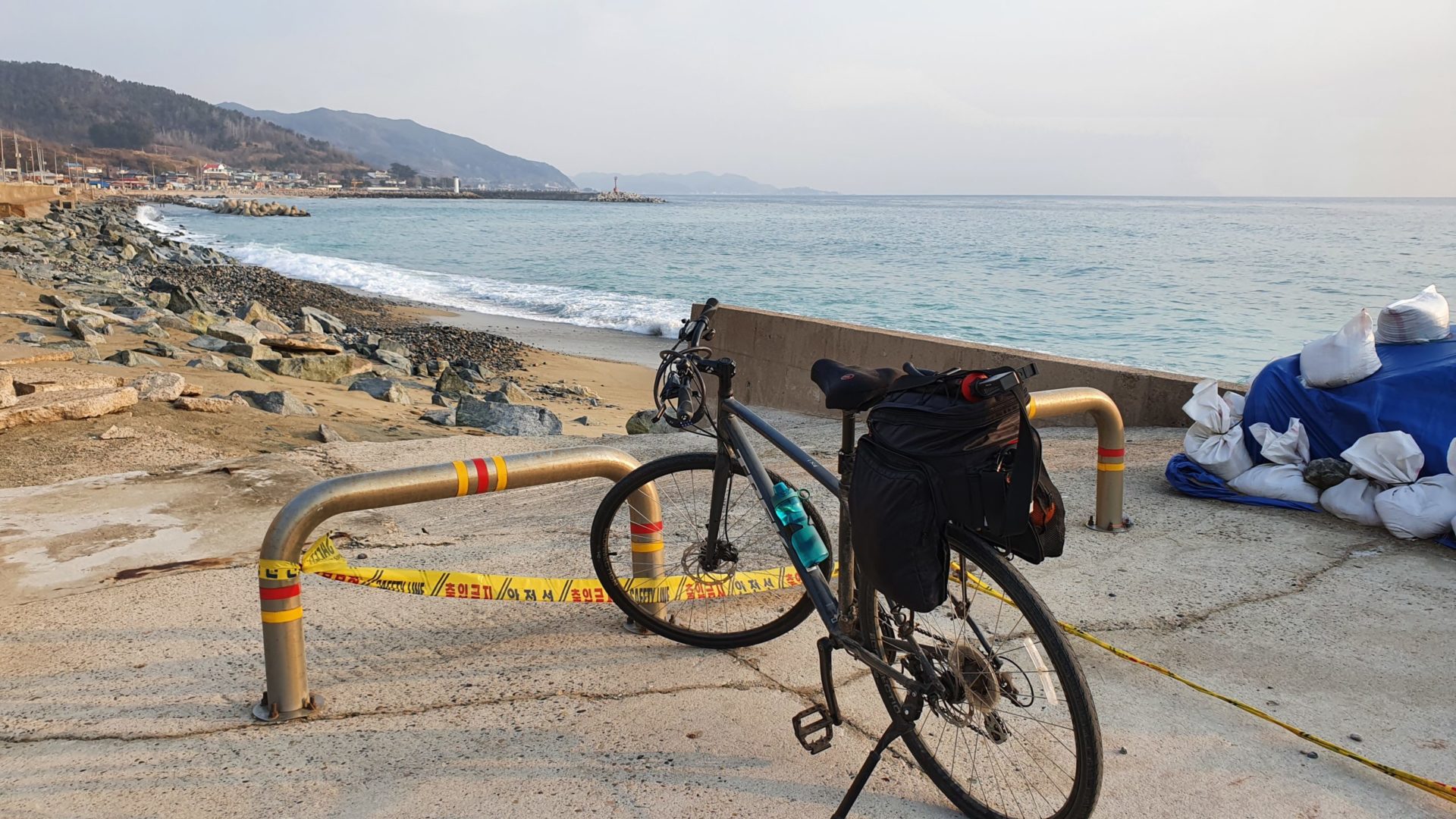
Usually when I go on biking trips in Korea like this I like to stop at convenience stores to grab food for picnic lunches. Convenience stores are everywhere in Korea. Even in the most remote corners of these bike paths you can always find a 7/11 or a CU along the way. You can get a relatively healthy lunch from them for pretty cheap. My usual meal is a sandwich or kimbap, a yogurt, a banana, and a bag of chips. I prefer stopping at convenience stores because they are everywhere and I don’t have to carry much food in my bike bags. The East Coast Bike Path has so many nice places to sit outside and eat at while enjoying views of waves crashing on the beach.
To Wolsongjeong
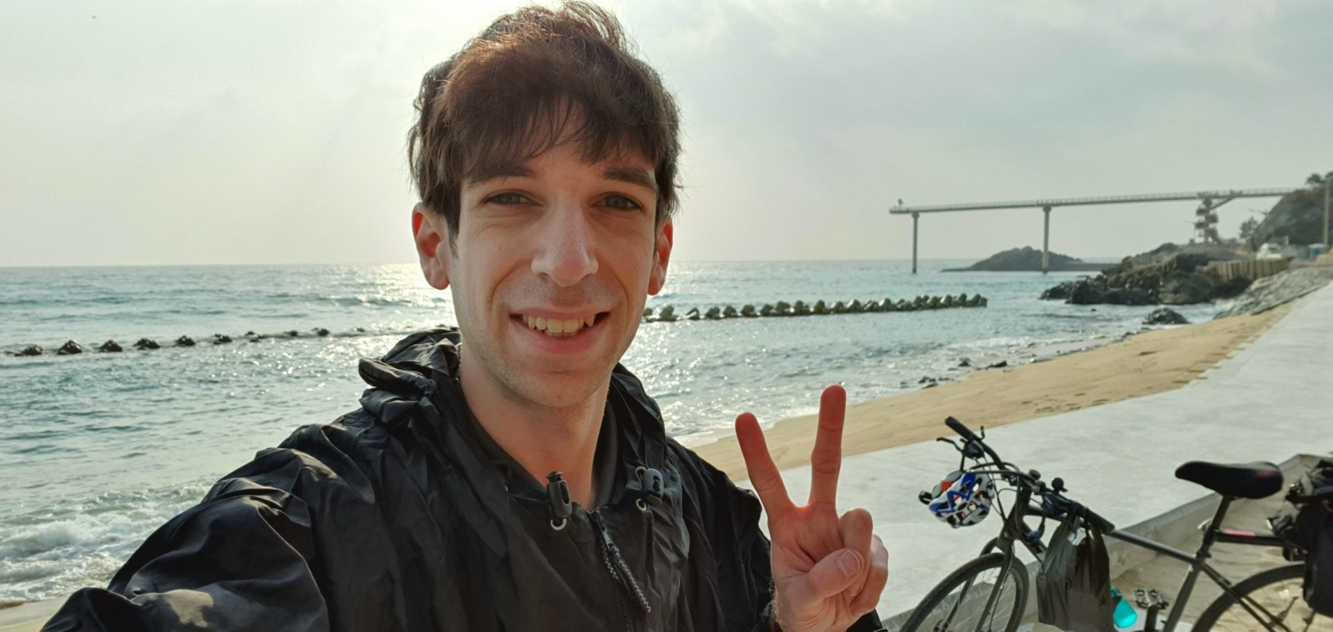
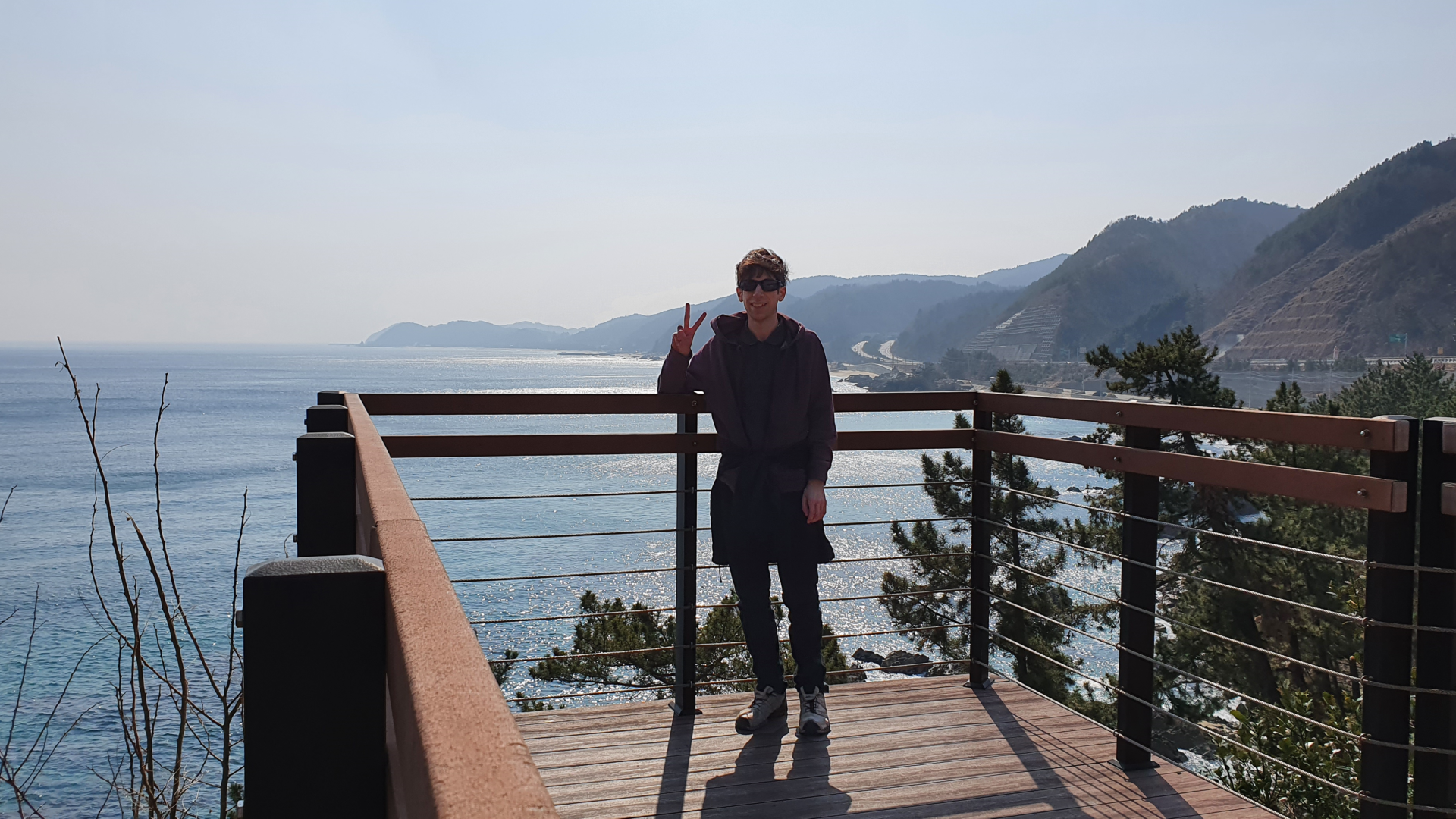
Feeling energized by my meal, I was now off to see how far I could cycle. I had perfect weather for the second day of my ride. Even though it was still early in the morning, temperatures already climbed to around 60°F / 16°C. The wind had died down too, so I had packed my winter coat away in my bag. Views along the route were just as good as ever, but after riding on the coast for a couple days it starts to all look the same. I passed through more fishing towns, beaches, and crab statues along the way to my first stamp of the day.
Wolsongjeong To Mangyang Service Area
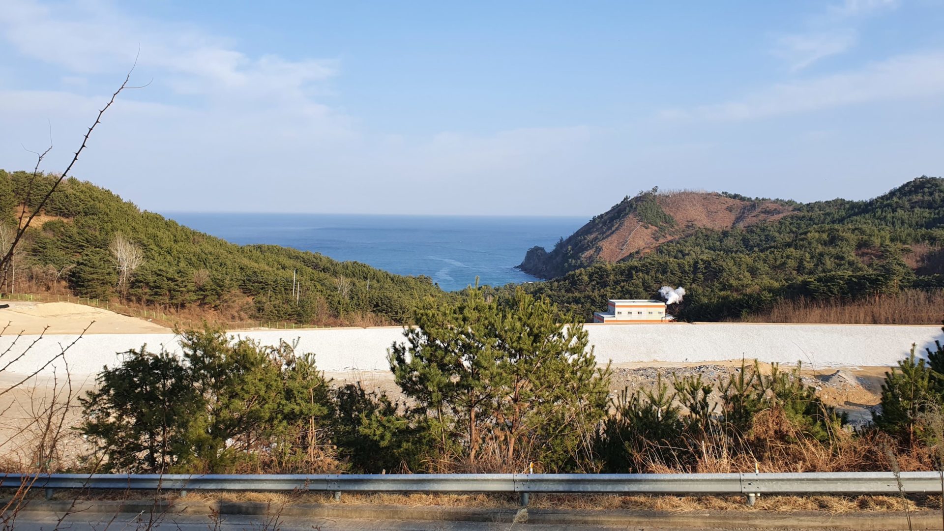
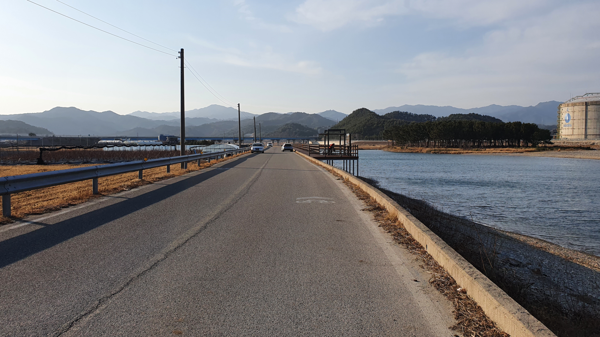
Every now and then the path veers off from the coast and into the farmlands. I’m guessing this is because the coast is either too rocky or too steep to build a path on. Instead they just divert the path from the sea to follow existing roads. It was actually nice to have an occasional farmland and mountain view to break up the ocean views. However, as someone that grew up in the American Midwest far away from any oceans and mountains, I could never get truly tired of either.
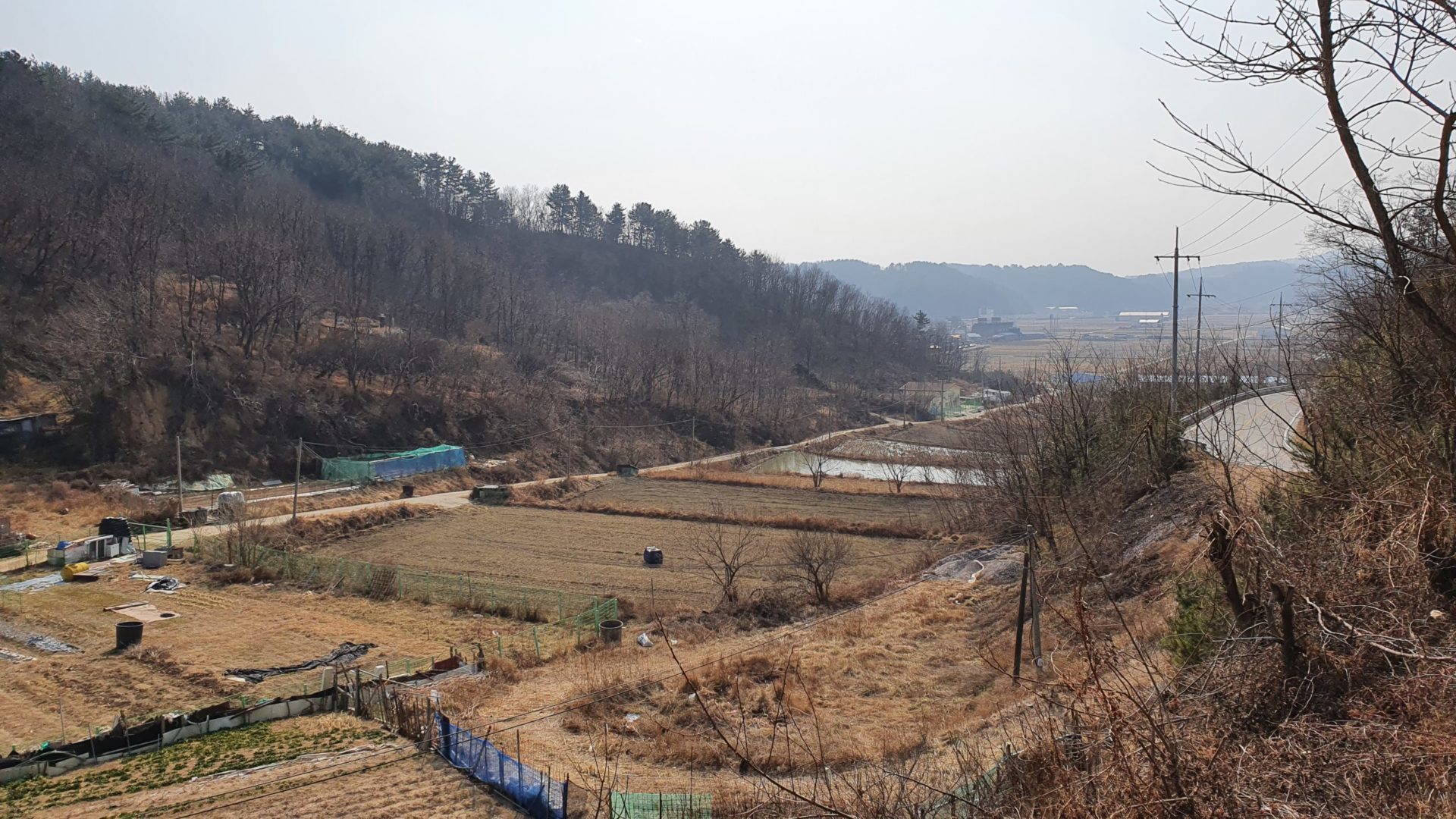
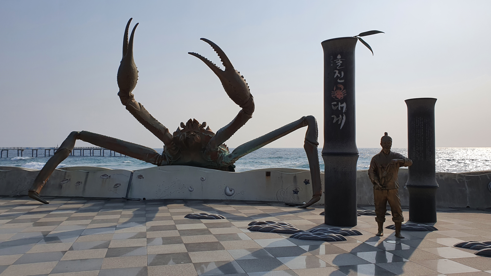
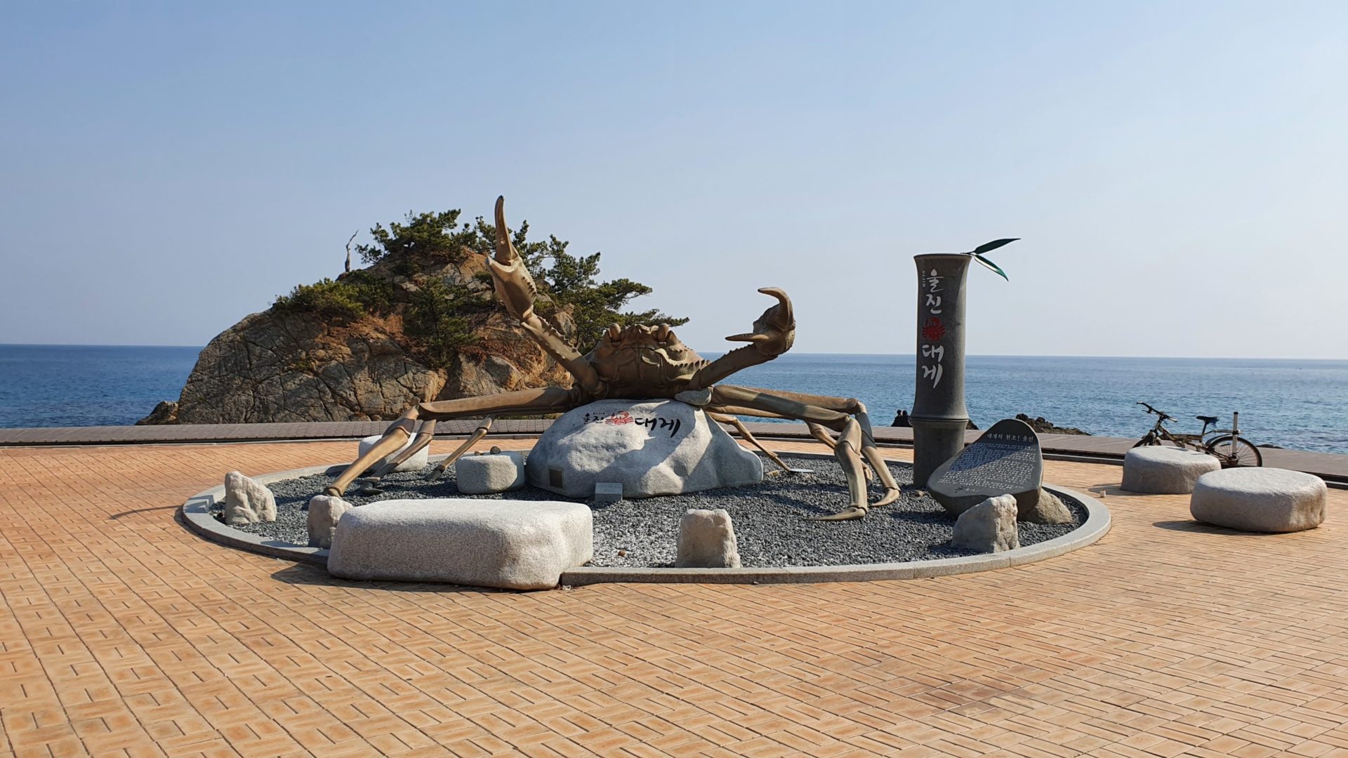
Continuing up the coast I found yet another crab statue. Those things are everywhere. I never realized how much they loved crab in Korea. The crab fishing business must be good out on the Korean East coast.
After going up a short mountain climb, I started to feel hot for the first time on this trip! However, I had one problem. My bike bag isn’t big enough to stuff all of my winter clothes in. I had to improvise and keep an unzipped hoodie on and tie another jacket around my waist. I definitely needed them all the morning before, but now it was just too much!
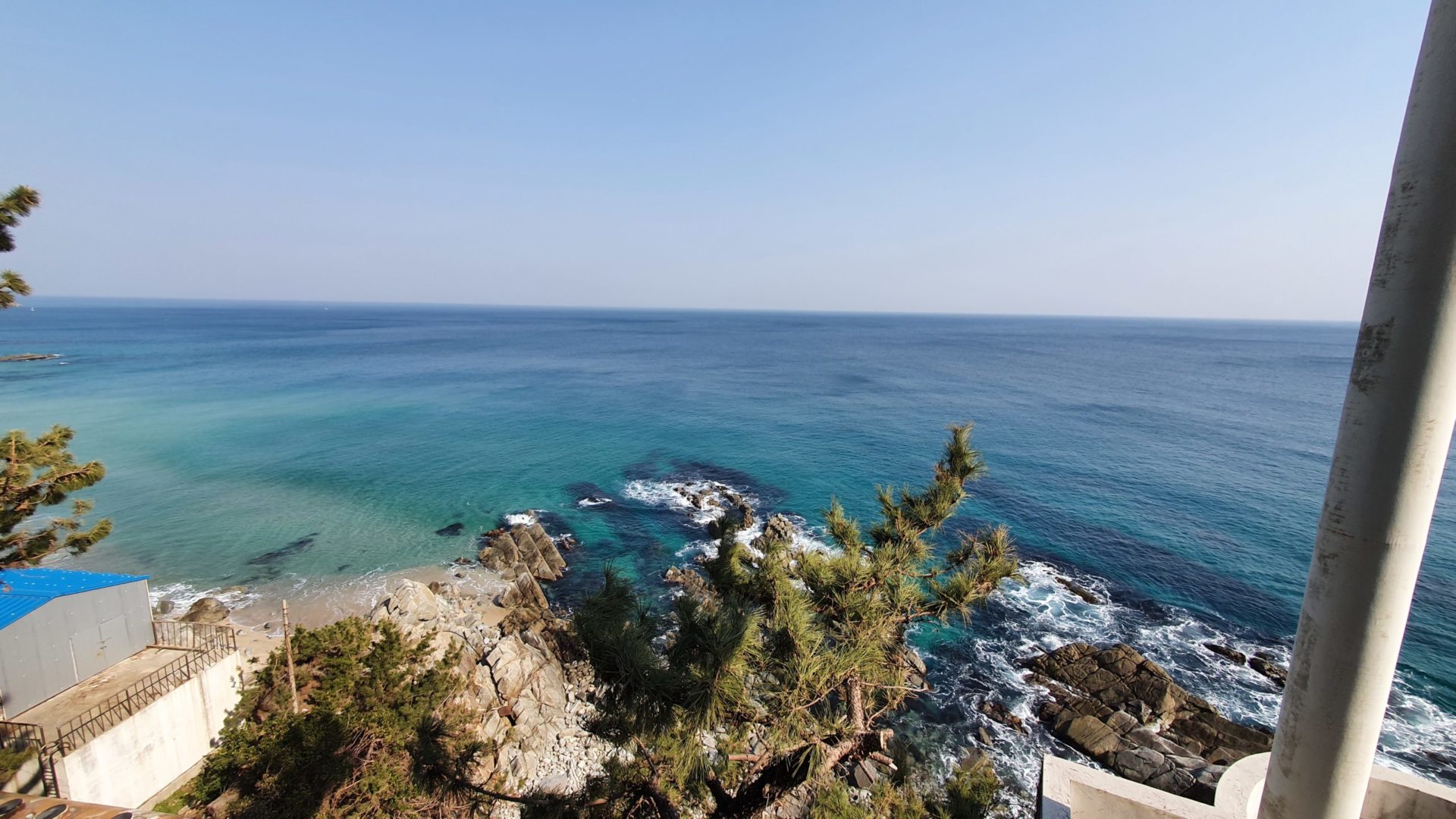
Mangyang Service Area, the location of the second stamp of the day, is a big rest stop built up on a cliff that overlooks the sea. This made for a perfect place to take a break, eat some ice cream, and enjoy the views. I thought this would be a good place for a bathroom break, but you needed to buy toilet paper from a vending machine for 500 won. That seemed a bit ridiculous to me. There are plenty of other free places along the way so I decided to wait for the next bathroom down the road.
Mangyang Service Area To Uljin Sweet Fish Bridge
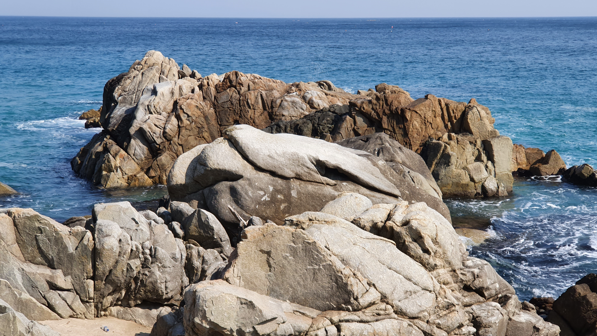
During the next stretch of the East Coast Bike Path I stumbled upon a sign for 물개바위, “Seal Rock”. Usually when I see signs for rocks that are supposed to look like something I always assume it’s a stretch. More often than not you would never know what it was supposed to look like if nobody had told you. But Seal Rock is different. This rock actually looks like a seal! It’s so real that I can almost see the seal’s whiskers in this picture.
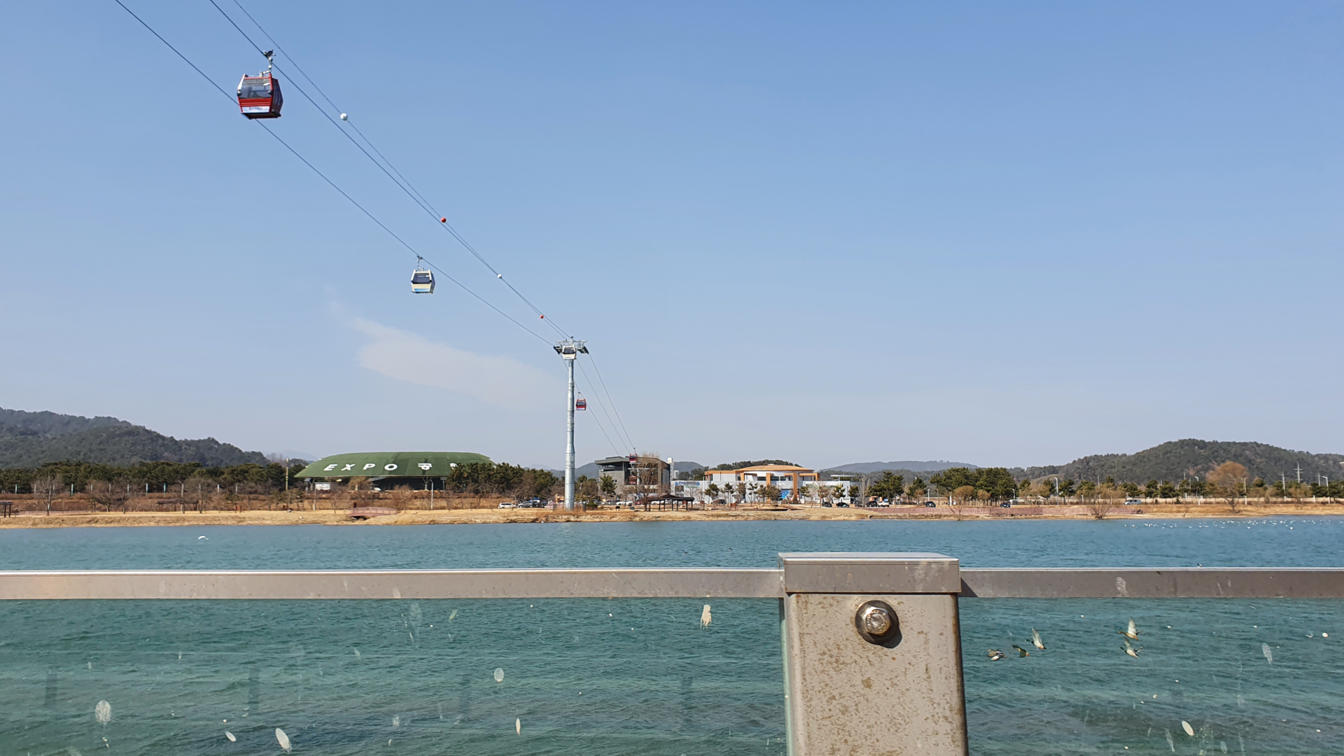
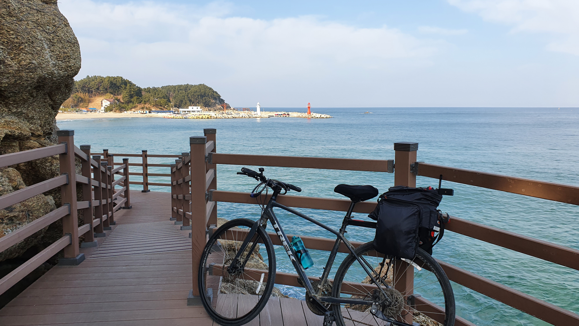
Just beyond Seal Rock the trail curves into an inlet that the Uljin Wangpicheon Cable Car traverses. The cable car crosses over from a nice park to a small mountain on the other side of the inlet. Figuring that my ocean views throughout this trip would be just as good as from the cable car, I rode past it towards my next stamp.
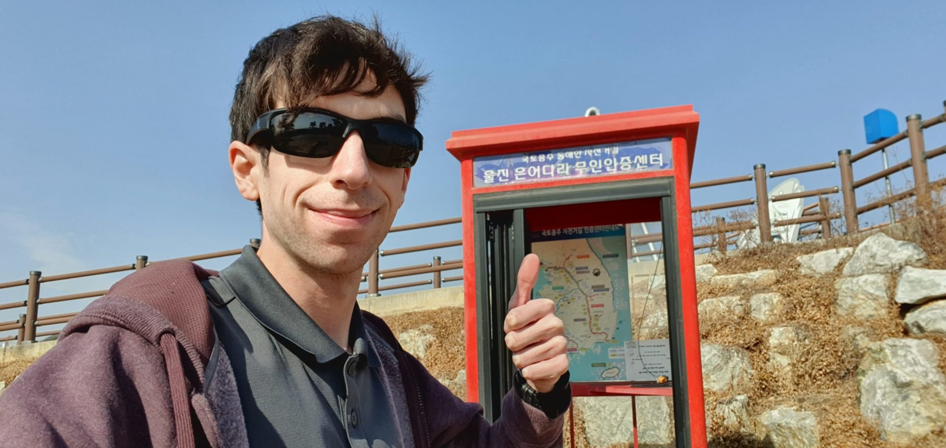
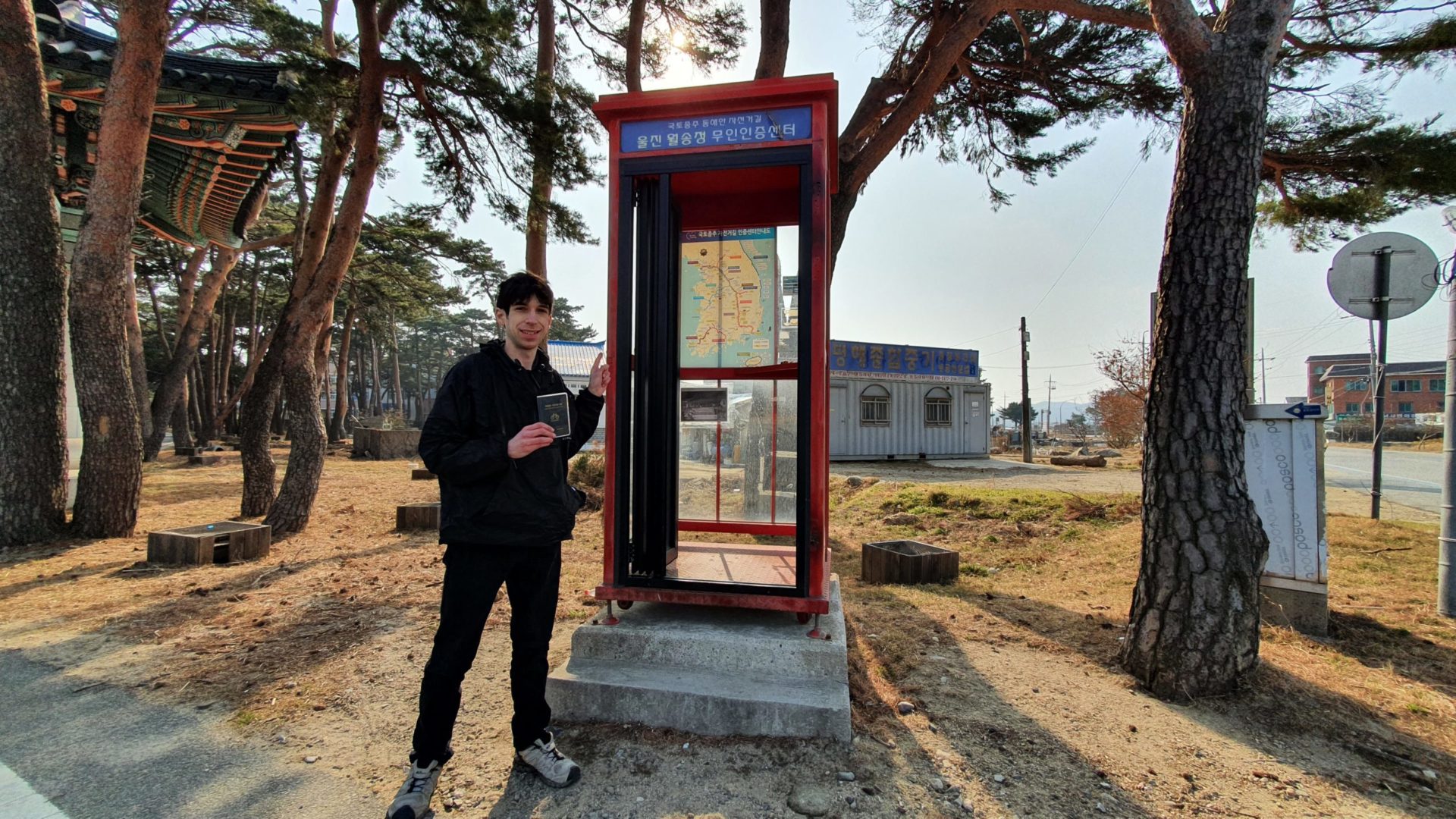
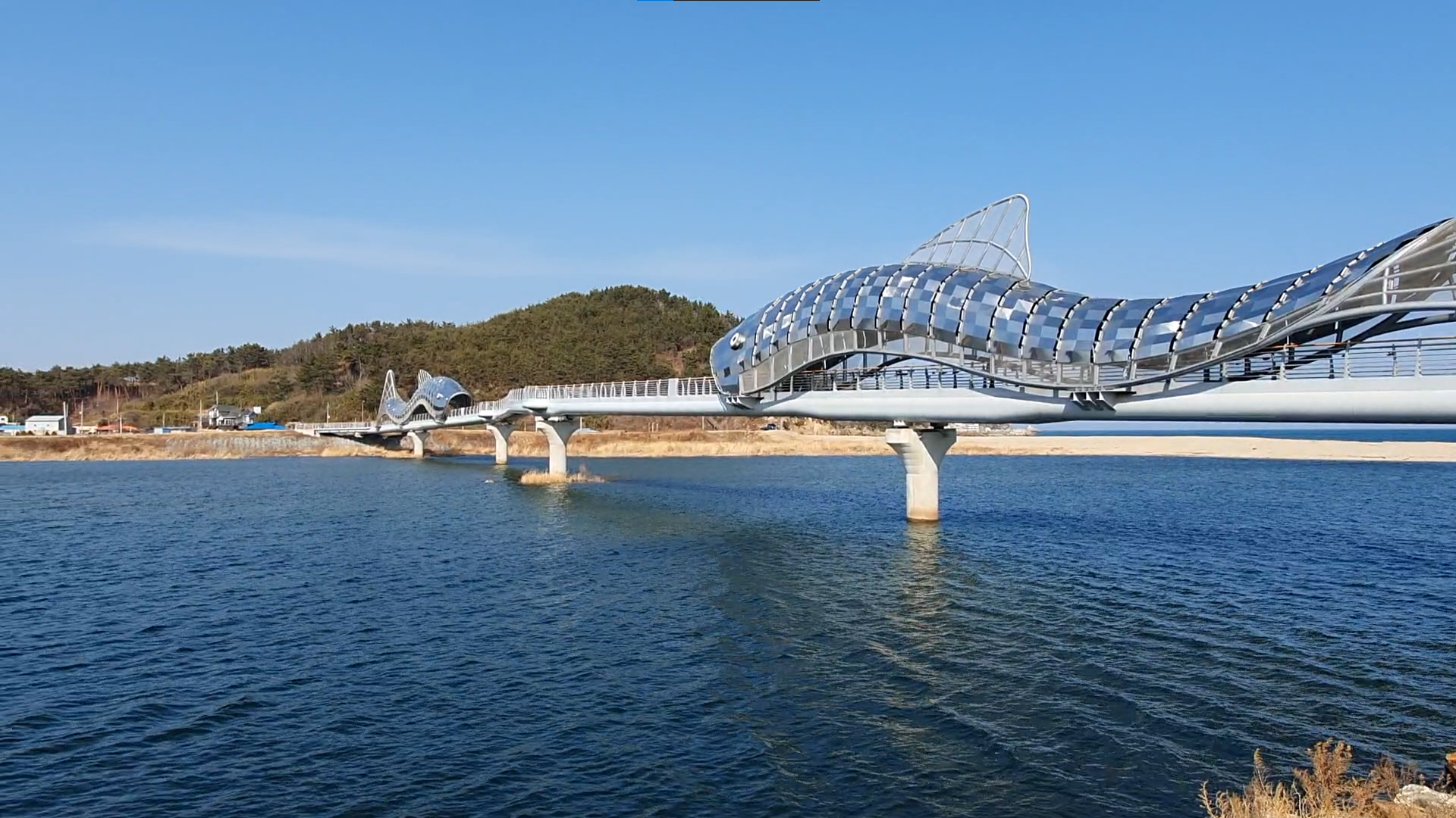
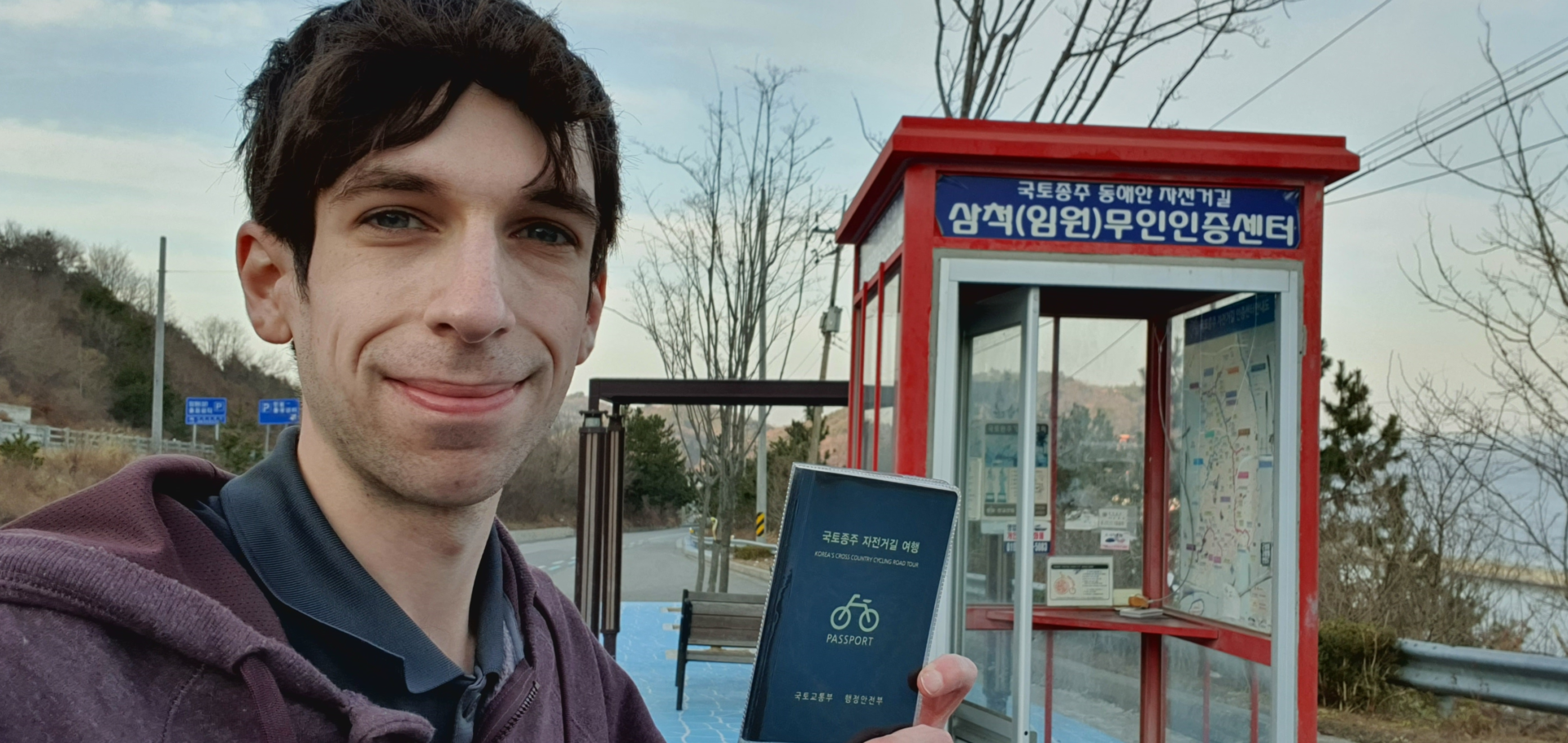
The Korea East Coast Bike Path is split into two sections, one in Gyeongbuk Province and one in Gangwon Province. Just around the corner from the cable car I found the fifth and final stamp of the Gyeongbuk Province section. After this I would have to ride 35km to the next stamp to start the section in Gangwon Province. The last Gyeongbuk stamp is called Uljin Sweet Fish Bridge. As I approached the stamp booth I wasn’t sure why it had such a name. But when I arrived and saw the bridge it was as clear as day. Two large fish structures cover sections of the bridge with the bike path going straight through their mouths.
After collecting my stamp I checked my apps for hotels for the night. It was almost 2:00 p.m., so I wanted to find accommodation about two and a half hours down the road. I found a nice cheap hotel 40km / 25mi away and decided it was perfect. That would put me at almost 100km ridden for the day and I should arrive right when I wanted to. With my hotel booked I hopped back on the bike and rode through the fish’s mouths.
Uljin Sweet Fish Bridge to Gangwon Province
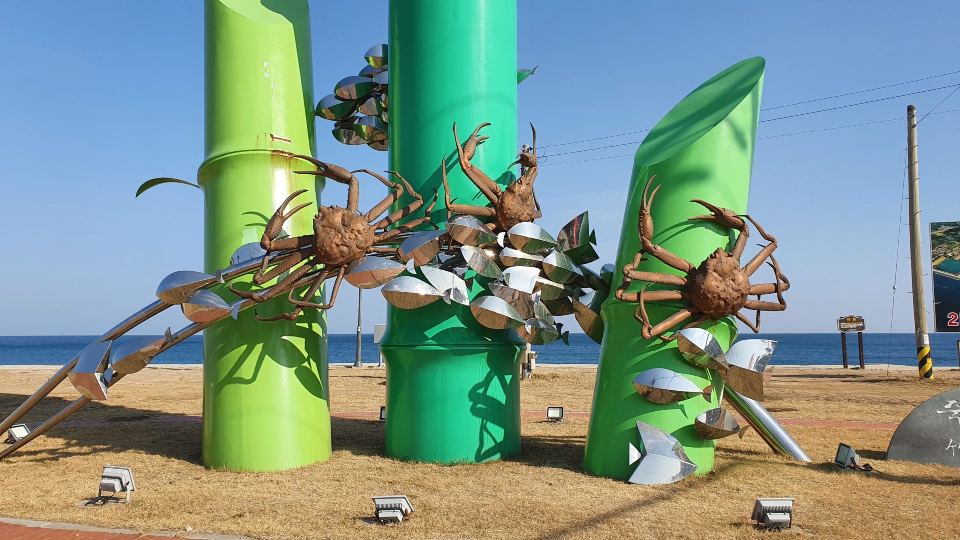
Can you guess what kinds of sculptures I saw next? Did you guess more crabs? You’re right! The Korean East Coast is a great place to be if you love crabs, but it’s a horrible place to be if you are a crab. From here the path became a little more boring than usual. I rode up through a couple small towns slightly inland where I had no sea views. But after returning to the coast the beautiful views continued.
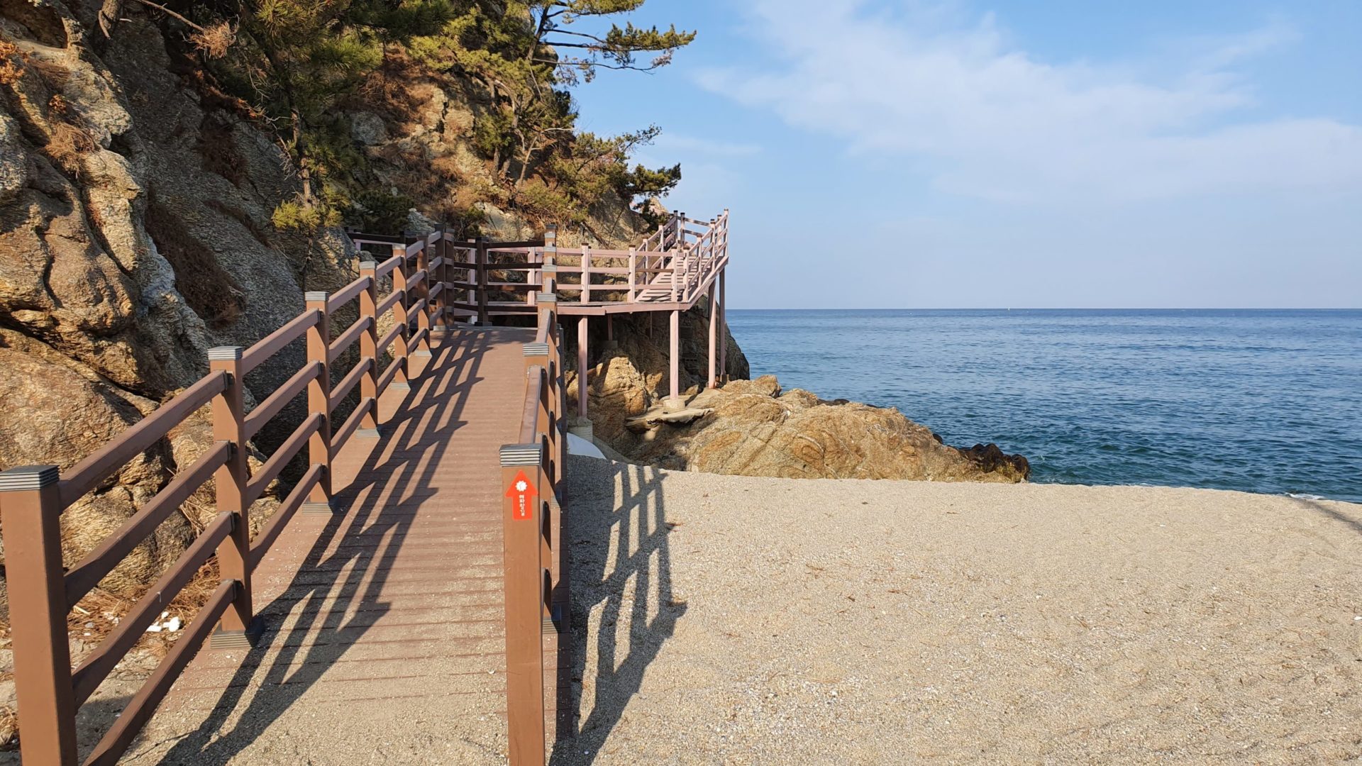
The blue line that designates the bike path eventually came to a seemingly weird turn. It went straight into the sand, pointing towards this cliffside boardwalk being the actual trail. My bike’s tires aren’t fit for riding in sand, so I had to get off the bike and walk it through the beach to the boardwalk. Even on the boardwalk it was too narrow to ride safely, so I walked the bike the whole way. This really didn’t feel like the trail at all, but the views were great! For a minute I thought I made a wrong turn, but when I turned the corner I could see the blue line continue on the other side.
I soon traveled back inland in order to go over the steepest and tallest mountain of the trip. My knee injury felt okay when I was riding flat, but it hurt to go uphill. I ended up walking the bike over most of it in order to give my knee a break. However, it felt great when I finally reached the top and could coast all the way down to the coast. Pun intended.
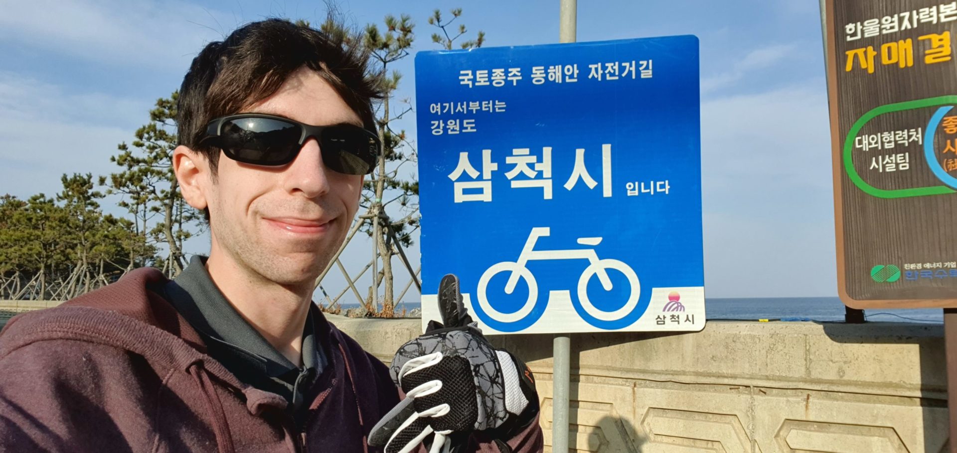
At the bottom of the mountain I was greeted by a blue sign that signaled the border between Samcheok City in Gangwon Province and Uljin County in Gyeongbuk Province. Finally I could start collecting stamps again! While in a way this felt like a halfway point, the reality is that the Gangwon section is much longer than the Gyeongbuk Province. I still had about 250km / 155mi remaining on this bike path.
Gangwon Province to Imwon
I only planned to collect one more stamp this day at Imwon, a small town where I would spend the night. The last section of the Gangwon East Coast Bike Path took me away from the coast and into the mountains. These mountains aren’t terribly steep, but I did struggle a bit because I was doing them at the end of the day after riding 90km already. At this point I was also getting really hungry, so I was looking forward to getting food when I arrived in town.
Once again the last five kilometers of the day seemed to take the longest. Last time I dealt with the headwind, this time I dealt with going over mountains. Eventually I made it to the top, grabbed my last stamp of the day, and coasted into town to find my hotel.
Hotel in Imwon
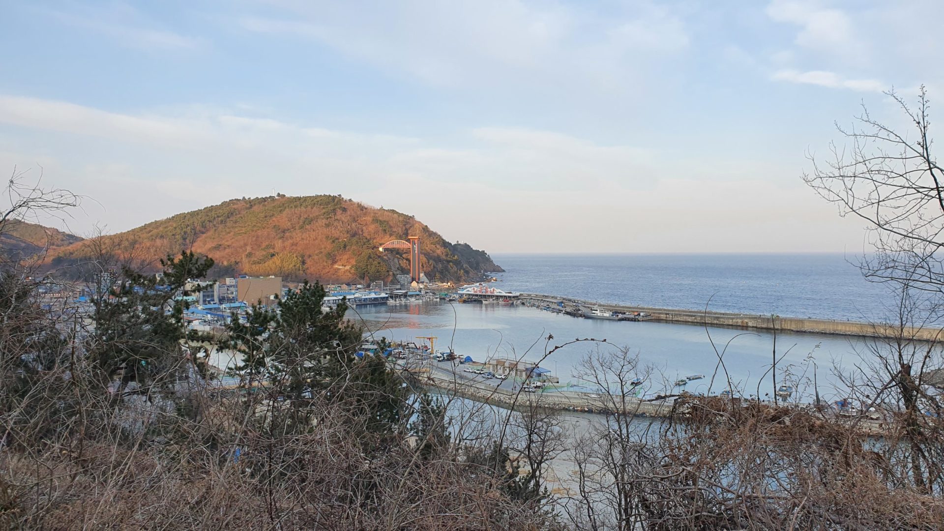
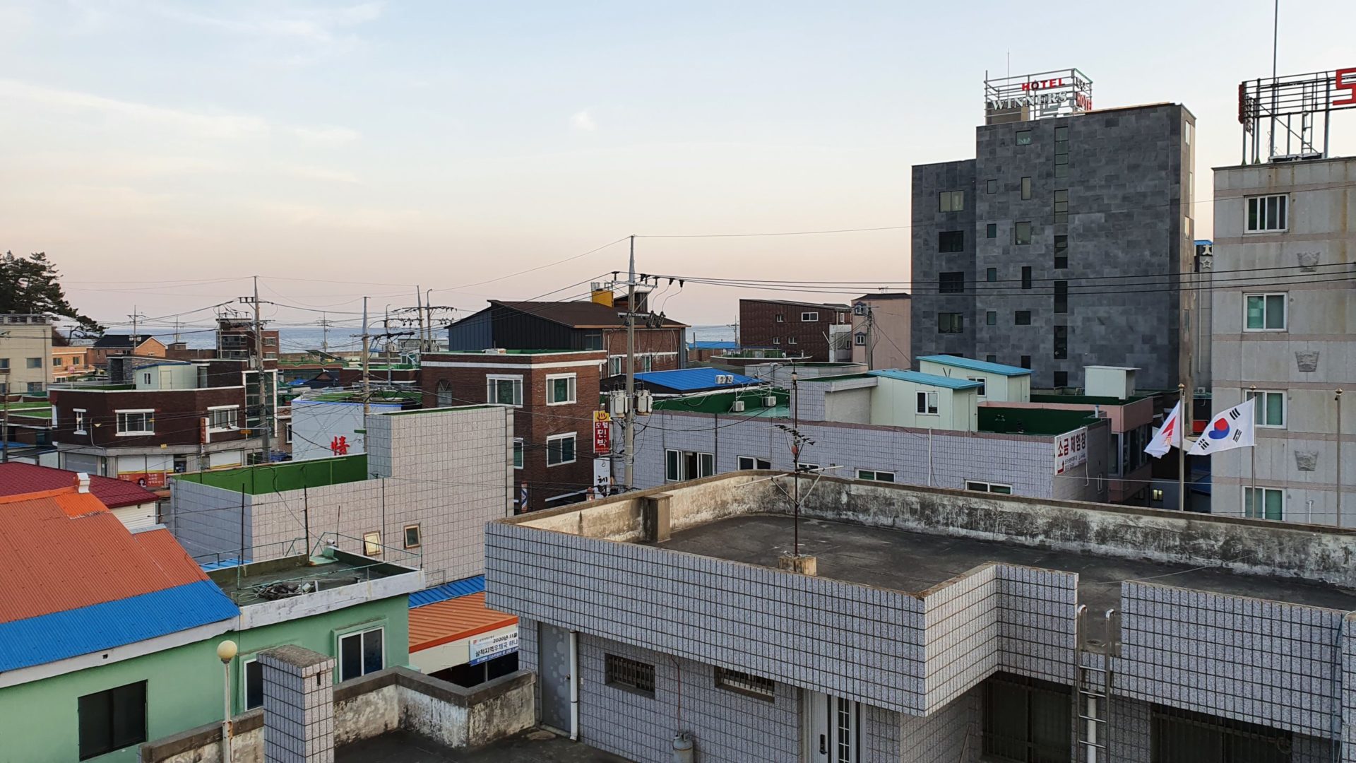
From the last stamp booth I could see the little town I would be staying in. Once again I stayed in a small fishing town, but it was big enough to have a few hotel options for bikers.
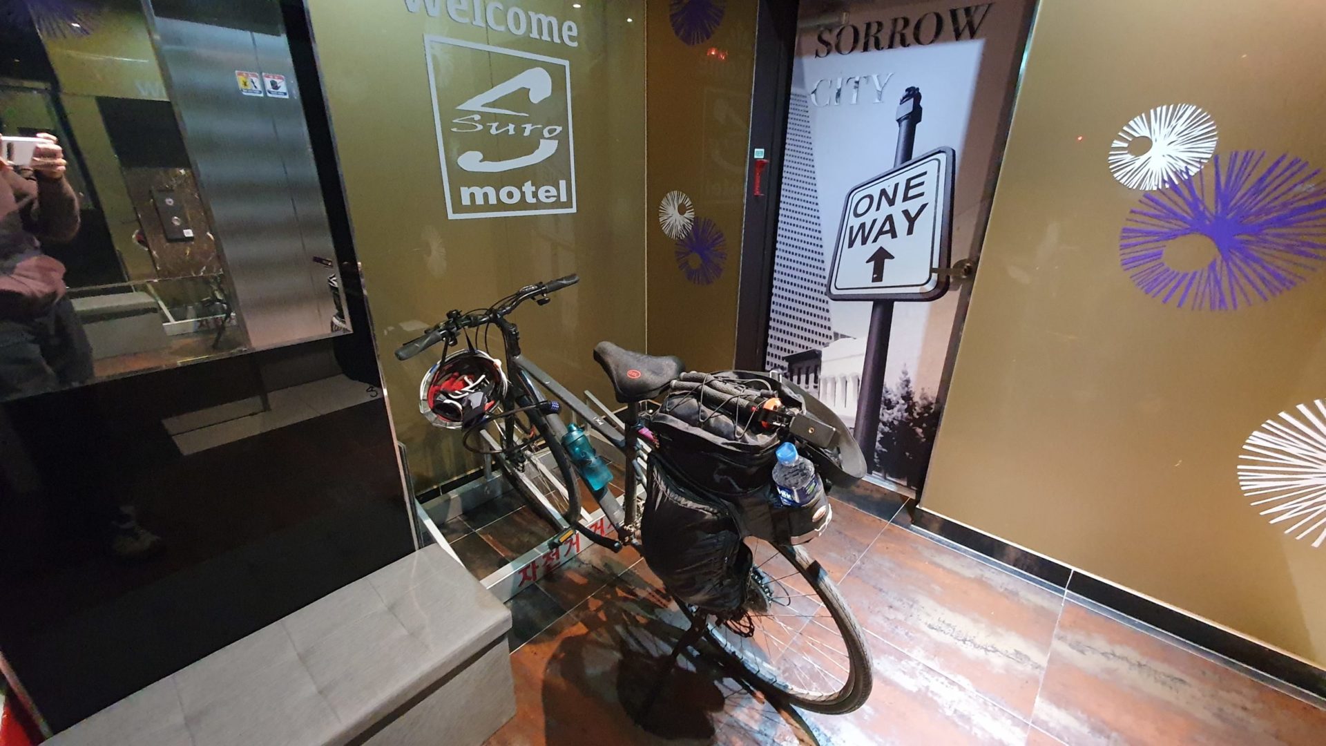
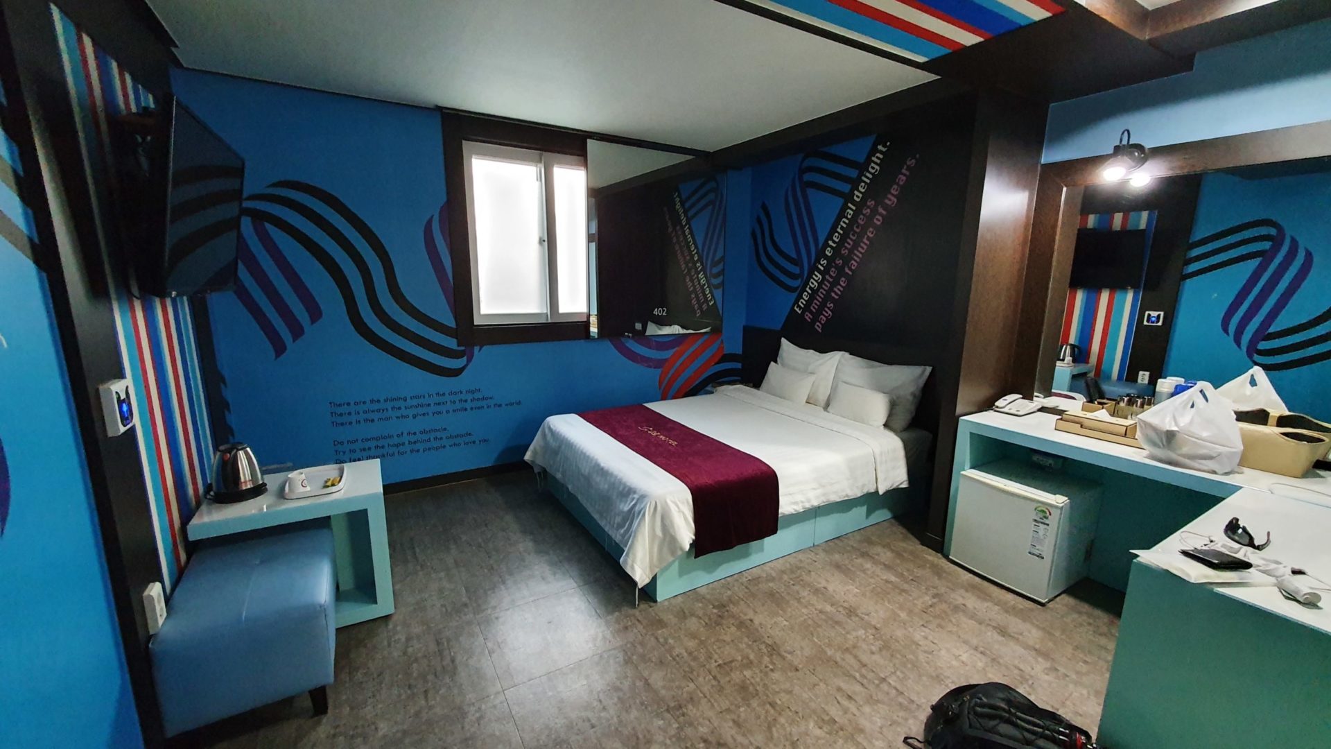
Finding the hotel was easy enough; this town wasn’t very big. Unfortunately it was inland far enough that the view of the sea was mostly obstructed by other buildings. I didn’t mind though, I didn’t plan to wake up early for sunrise again. My body needed more rest after riding for 95km / 59 mi.
After two days of riding I had covered 180km / 118mi, or about 44% of the total distance. At this pace I would be close to finishing the East Coast Bike Path after four days, leaving just a half day of riding when the freezing temperatures return. My knee still felt okay, so at this point I became confident that I could finish the whole path. I wasn’t going to set any records with this pace, but slow and steady will eventually win the race.
Continue reading about my Korea East Coast Bike Path journey:
Leave a Reply
You must be logged in to post a comment.